What is recorded here
An earthwork enclosure is depicted on McCrea’s map of Co. Monaghan (1793) at the W edge of Aghaglass townland, but its precise character or location is not known.
Date of upload: 14 April 2011
The monument record does not grant public access. Check the route and ask the landowner before entering private land.
- What survives
- Recorded monument
Places near here
 Enclosure in DrumirrilEnclosure · 701 yd
 Field system in DrumirrilField system · 725 yd
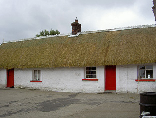 The Thatchhouse · 1604 yd
 Church in ChanonrockChurch · 1712 yd
 CastleCastle, motte and bailey · 1.6 mi
 MoatCastle, motte · 2.1 mi
:no_upscale()/cdn.vox-cdn.com/uploads/chorus_asset/file/25593391/County_Louth_6th.jpg) LouthMountain / peak · 2.6 mi
LouthMountain / peak · 2.6 mi Long PlantationForest · 5.1 mi
 Flat cemetery in AnnaheanFlat cemetery · 5.2 mi
 Sky HillMountain / peak · 6.6 mi
 Photo GalleryHeritage attraction · 6.6 mi
 Dundalk CentralHeritage attraction · 6.6 mi