What is recorded here
Fairy fort / earthen ringfort in Yellowbatter is a circular rath on a gentle south-facing slope in County Louth. Its ditch is 2.52m wide and 0.9m deep, with a 3m entrance gap at the east. Donald Murphy tested the site in 2021 and found the ditch plus eleven possible interior pits. The name “fairy fort” is local story, not fact, but the measurements are clear: a small, deliberate circle cut into living land.
Situated on a gentle S-facing slope. A gradiometer survey (21R0044) of about 15.5 ha (c. 40 acres) identified a circular enclosure (int. diam. c. 34m) defined by a single fosse that has an entrance gap (Wth c. 3m) at E. The enclosure is faintly visible on OSI Aerial Premium images (2013-18). The enclosure was archaeologically tested (18E0550 ext.) by Donald Murphy (2021) when the rath ditch (Wth 2.52m; D 0.9m) was encountered and elven possible pits were identified in the interior.
See the attached image from Murphy and Breen (2021, fig. 5)
Compiled by: Michael Moore
Date of upload: 19 April 2022
The monument record does not grant public access. Check the route and ask the landowner before entering private land.
- What survives
- Recorded monument
Places near here
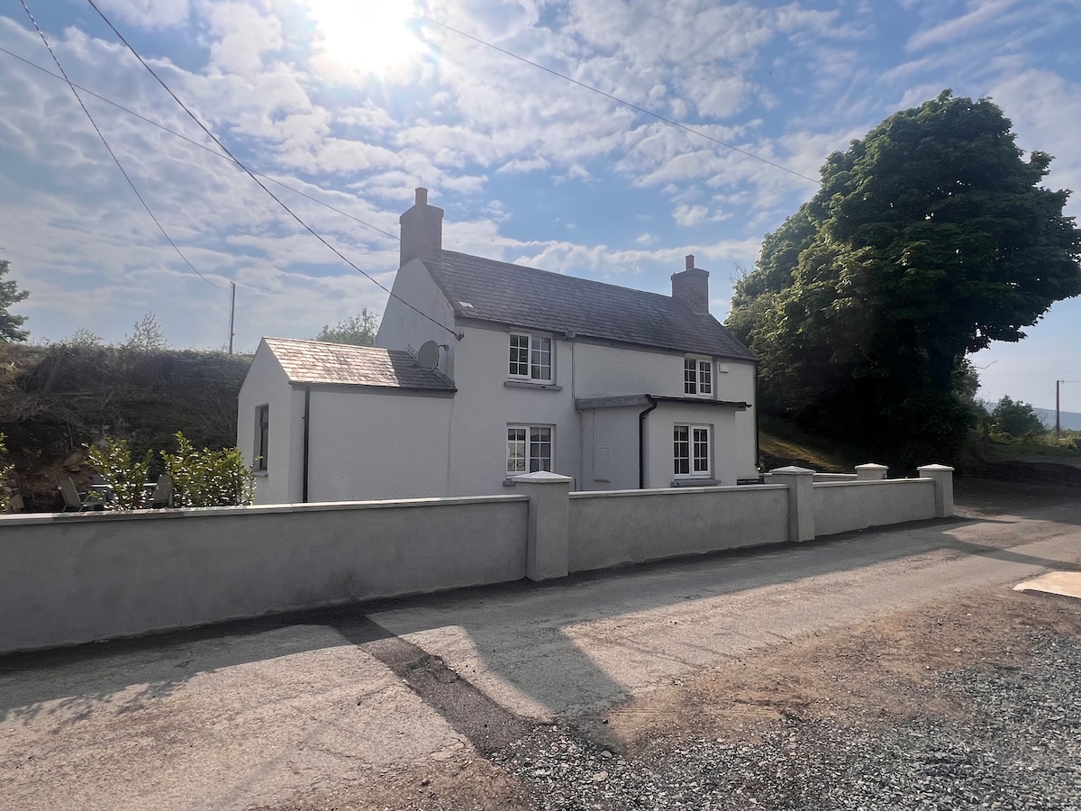 Not indicaetdEnclosure · 800 yd
 Enclosure in MoneymoreEnclosure · 895 yd
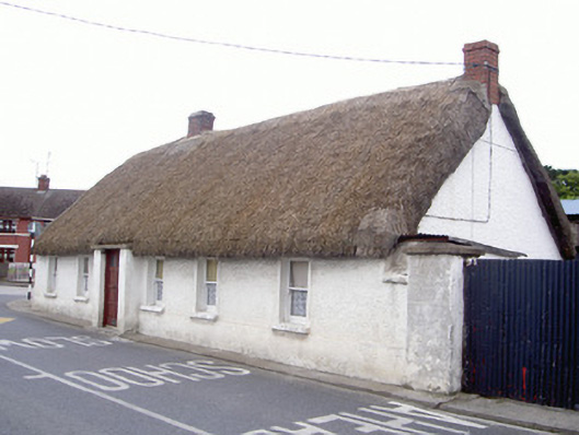 farm housefarm house · 1172 yd
 Catholic Church of Our Lady of Lourdeschurch/chapel · 1299 yd
 Magdalene TowerCastle · 1697 yd
 The ThoselMemorial · 1.2 mi
 Siege of Droghedasiege · 1.3 mi
 Millmount MuseumMuseum · 1.4 mi
 CastleCastle, tower house · 1.5 mi
 Newgrange Business ParkMemorial · 2.2 mi
 Yellow IslandIslet · 2.3 mi
 Grove IslandIslet · 2.5 mi