What is recorded here
Fairy fort in Woodstock, County Cork: a raised circular earthwork about thirty-three metres across, with steep banks, cut ditches and wide views across pasture. Local story claims O'Neill, Earl of Tyrone, camped there in 1599, but the shape and setting suggest older repeated use: a place for watching, hiding, keeping livestock or marking territory long before any one owner. Its name does not mock the facts; it records that people once saw more life in it than measurement alone can capture.
In pasture, on SW-facing slope. Extensive views to NW and SSW. Raised circular area (32.6m E-W; 30.75m N-S) enclosed by steep-sided inner bank (max. int. H 1.55m; ext. H 4.05m); rock-cut intervening fosse with possible well to NE; berm (Wth 3.5m); outer bank (H 2.25m), inner face quarried into to E; shallow external fosse N->SSW, formerly deep but recently infilled with debris SSW->N. Interior split levelled, with E half c. 1.25m higher than W. At centre, depression and spoil heap indicated disturbance due to digging. According to local information O'Neill, Earl of Tyrone, camped here in 1599.
The above description is derived from the published 'Archaeological Inventory of County Cork. Volume 2: East and South Cork' (Dublin: Stationery Office, 1994). In certain instances the entries have been revised and updated in the light of recent research.
Date of upload/revision: 14 January 2009
The monument record does not grant public access. Check the route and ask the landowner before entering private land.
- What survives
- Recorded monument
Places near here
 Folacht FiadhFulacht fia · 877 yd
 Hilltop enclosure in Curragh (barrymore By.)Hilltop enclosure · 1235 yd
 Curragh WoodsWood · 1.3 mi
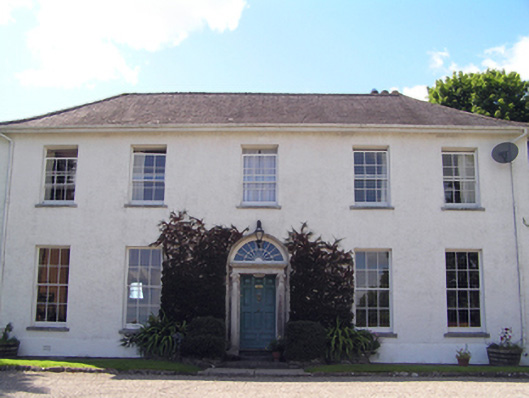 Glenviewcountry house · 1.4 mi
 Garrancloyne Househouse · 1.4 mi
 Leamlara Castle (in Ruins)Castle, tower house · 2.3 mi
 Harper's IslandIslet · 3.6 mi
 Ballyvodock Castle (in Ruins)Castle, tower house · 3.7 mi
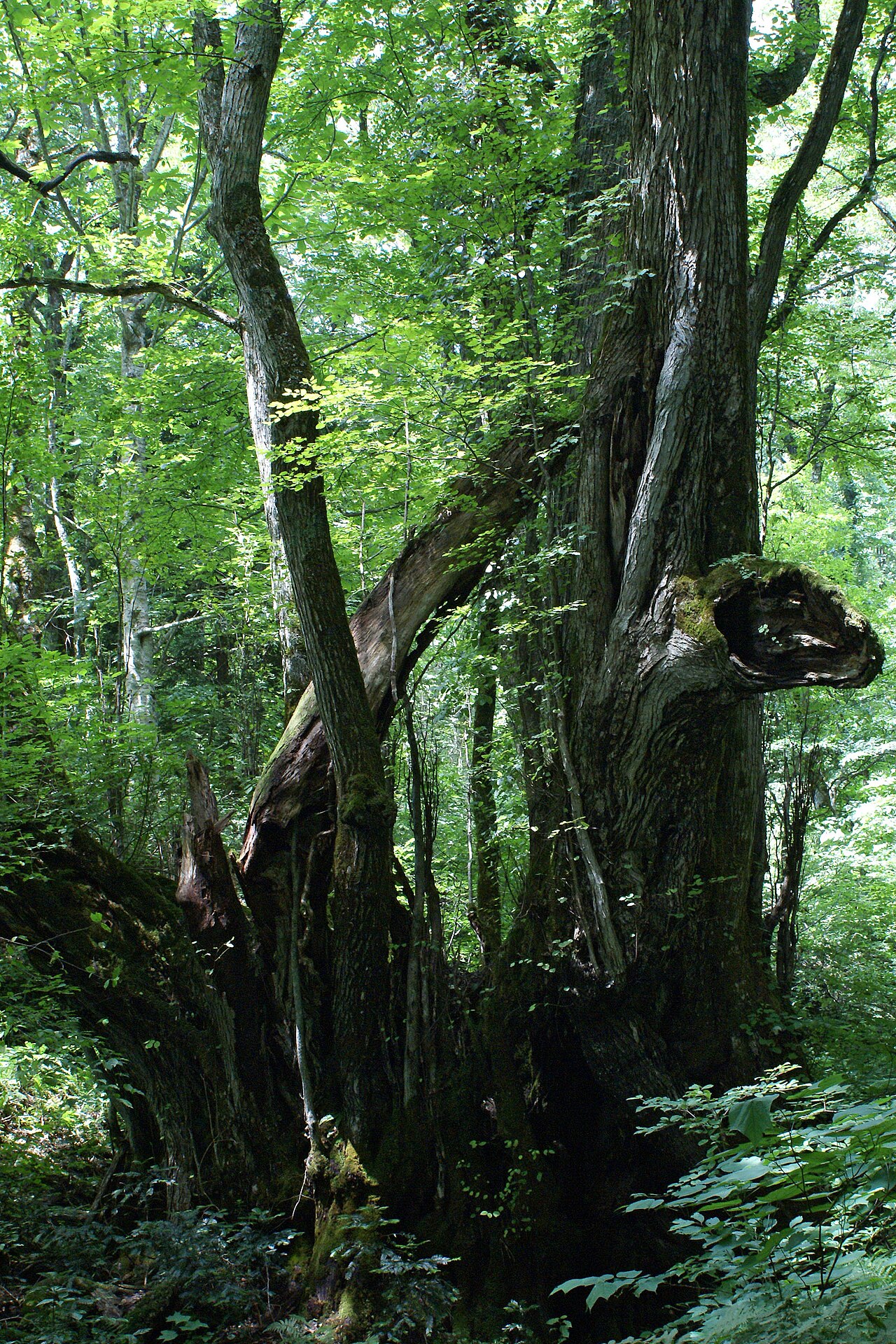 Katsura treeKatsura tree · 3.7 mi
 Fota Arboretum and GardensHeritage attraction · 3.8 mi
 Gleeson MemorialMemorial · 4.3 mi
 Great IslandIsland · 4.9 mi