What is recorded here
Mature trees rise from the grassy floor of a D-shaped enclosure, their roots tangling with the buried bones of the earthen bank. The lake breathes twenty metres away, pushing mist through the western gap where the scarp cuts the perimeter. What was built there has been half-erased, but the shape still holds: a room large enough for life, set at the bottom of a steep slope, facing water. The fort is not complete, yet it is not empty. It is waiting to be remembered by someone willing to stand inside it and listen.
Located towards the bottom of a severe W-facing slope down to the E shore of a narrow N-S inlet at the SE angle of Garadice Lough, with the lake edge c. 20m distant. This is a D-shaped, grass and scrub-covered area (diam. 41.2m N-S; int. dims 35m E-W; 34m N-S) planted with mature deciduous trees, which is defined by an earthen bank (Wth 5-6m; int. H 0.2m at N to 1.2-1.3m E-SSW; ext. H 1.1m generally to 1.6m at N) and an external flat-bottomed fosse (Wth of top 4.7-7m; Wth of base 2-2.3m; D 0.4m at N to 1.1m at S) that survive NNW-E-SSW. The straight side at W (L 36m) is formed by a scarp (H 0.6m) where the monument has been truncated, and the W end of the perimeter at S is also a straight scarp (L 17m). The only entrance (Wth 2.5m) at W, is also secondary.
The above description is derived from 'The Archaeological Inventory of County Leitrim' compiled by Michael J. Moore (Dublin: Stationery Office, 2003). In certain instances the entries have been revised and updated in the light of recent research.
Date of upload: 28 February 2017
The monument record does not grant public access. Check the route and ask the landowner before entering private land.
- What survives
- Recorded monument
Places near here
 Crane IslandIslet · 427 yd
 BatteryBawn · 443 yd
 Cherry IslandIslet · 736 yd
 Bawn in Cherry IslandBawn · 813 yd
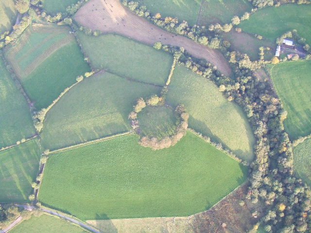 Fairy fort / earthen ringfort in MullyasterFairy fort / earthen ringfort · 993 yd
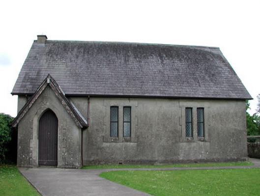 Newtown Gore Methodist Churchchurch/chapel · 1125 yd
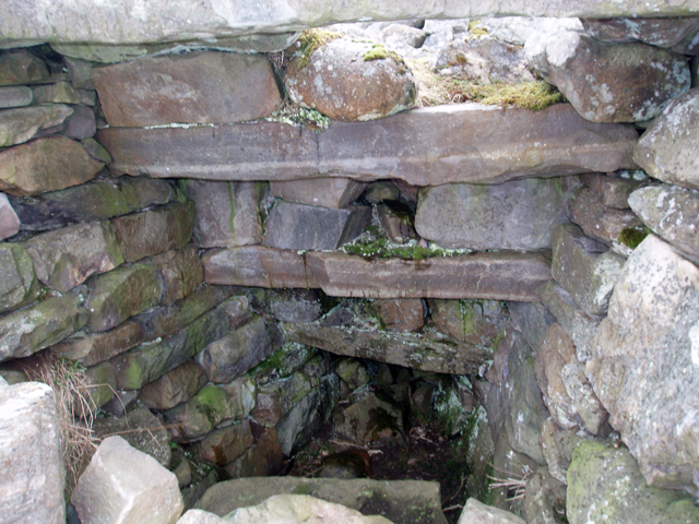 Outlined, Corn KilnEnclosure · 1176 yd
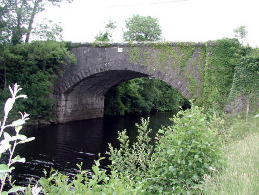 Ballinacur Bridgebridge · 1294 yd
 Swan Island pet farmHeritage attraction · 1.1 mi
 Black PoplarBlack Poplar · 1.1 mi
 DerrynigginMountain / peak · 1.1 mi
 DrummuckerMountain / peak · 2.3 mi