What is recorded here
That is a solid earthen ring, thirty metres across, built to keep out rain, wolves and unwanted visitors. The fairy name is local colour, not fact. A widened southern gap suggests people entered deliberately rather than breaking through. The grassy bank and shallow ditch still mark the choice made there: a small, defensible place on a low landscape.
Situated on a slight rise in a low-lying landscape. This is a grass and scrub-covered circular area (diam. 31.5m E-W; 32.3m N-S; int. diam. 30m E-W; 29.5m N-S) defined by a grass and scrub-covered earthen bank (Wth 5-6.5m; int. H 0.4m; max. ext. H 1.7m) N-E-S, which is reduced to a scarp (at W: H 1.2m) elsewhere, and an external fosse (Wth of top 6.2-7m; Wth of base 2.5-3m; D 0.4-0.5m) NW-S. There is a widened entrance (Wth 9m) at S, and a local tradition of a Man-made underground passage c. 150m outside the monument at S.
The above description is derived from 'The Archaeological Inventory of County Leitrim' compiled by Michael J. Moore (Dublin: Stationery Office, 2003). In certain instances the entries have been revised and updated in the light of recent research.
Date of upload: 23 September 2008
The monument record does not grant public access. Check the route and ask the landowner before entering private land.
- What survives
- Recorded monument
Places near here
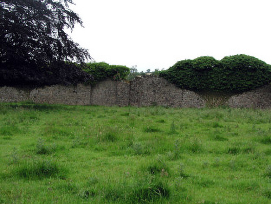 Woodfordwalled garden · 720 yd
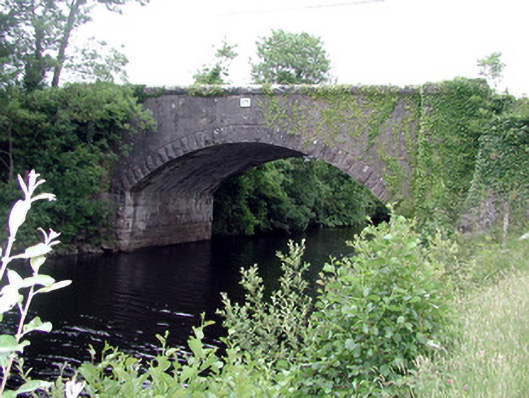 Ballinacur Bridgebridge · 823 yd
 CastleCastle, ringwork · 937 yd
 DerrynigginMountain / peak · 1026 yd
 Black PoplarBlack Poplar · 1152 yd
 Cherry IslandIslet · 1352 yd
 Bawn in Cherry IslandBawn · 1388 yd
 Crane IslandIslet · 1400 yd
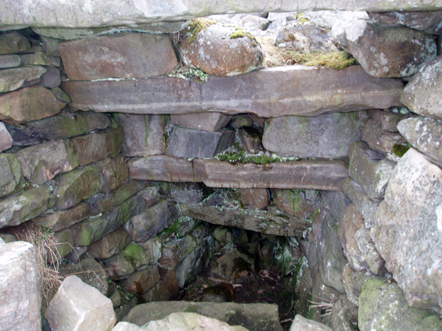 Outlined, Corn KilnEnclosure · 1502 yd
 Cross in CullyCross · 1713 yd
 Swan Island pet farmHeritage attraction · 1.6 mi
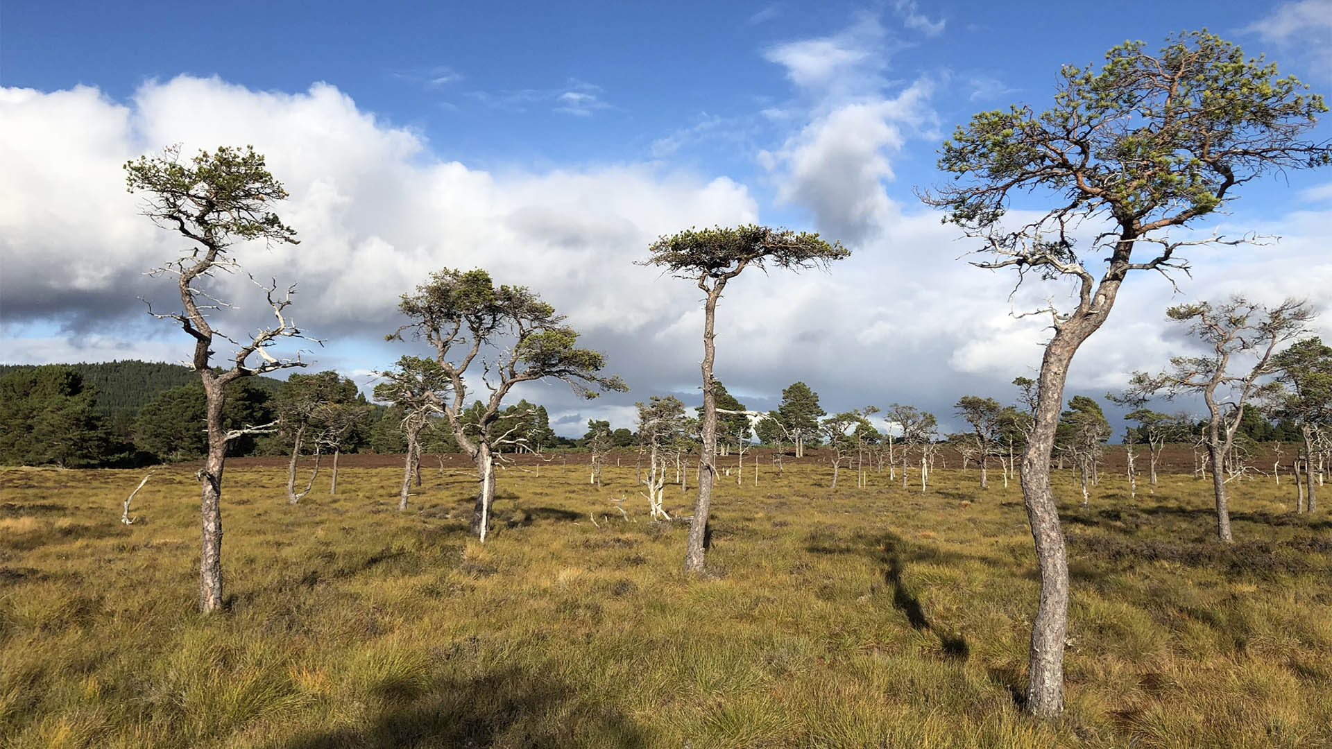 Derrycassan Bog WoodlandWood · 1.7 mi