What is recorded here
Situated on low lying poorly drained pasture-land. A roughly circular-shaped area (diam. 34m) enclosed by a poorly preserved earthen bank, shallow fosse, earthen bank, external shallow fosse, and a third external bank. A rectangular-shaped annexe defined by an earthen bank and external fosse occurs on the N side of the monument. A post-1700 levelled field boundary running NE-SW intersects the site at SE. The interior slopes slightly from N-S, and has traces of cultivation ridges running WSW-ENE.
Compiled by: Frank Coyne & Caimin O'Brien
Date of upload: 26 January 2017
The monument record does not grant public access. Check the route and ask the landowner before entering private land.
- What survives
- Recorded monument
Places near here
 Newpass Housedemesne walls/gates/railings · 650 yd
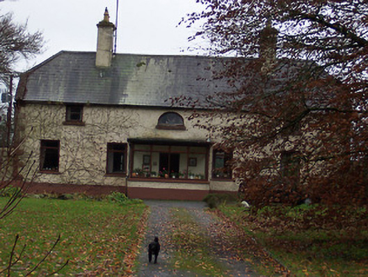 Derrydooan Househouse · 652 yd
 IndicatedFairy fort / earthen ringfort · 1054 yd
 Silver FirSilver Fir · 1086 yd
 OutlinedEnclosure · 1241 yd
 CastleCastle, motte · 1.2 mi
 Sweet ChestnutSweet Chestnut · 1.5 mi
 Site of CastleCastle, unclassified · 1.7 mi
 Edgeworthstown BypassMemorial · 3.7 mi
 Granard MotteMotte-and-bailey castle remains · 8.0 mi
 1798 Monumentmonument · 8.1 mi
 Bully's Acregraveyard/cemetery, unknown · 9.4 mi