What is recorded here
In farmyard, bound by pasture WNW-NE and on top of conspicuous rise with good views in all directions. Circular area (dims. 36m N-S; 34m E-W) defined by remains of low earthen bank (overall Wth 4.75m; Wth at top 1m; int. H 0.45m; ext. H 1.1m) best preserved around N-arc. Bank supports many mature trees. Interior is generally level, with a slight tilt down to E. Trackway (long axis NW-SE) (Wth 3m) truncates monument off-centre to NE. Either side of interior is covered in dense growth of nettles and is littered with old machinery and pieces of scrap metal. Enclosure, possible (TS060-087----) is c. 100m to NNE.
Compiled by: Jean Farrelly
Date of upload: 26 August 2011
The monument record does not grant public access. Check the route and ask the landowner before entering private land.
- What survives
- Recorded monument
Places near here
 Enclosure in WindmillEnclosure · 163 yd
 Hilltop enclosure in WindmillHilltop enclosure · 563 yd
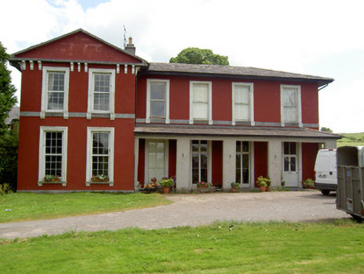 Deerpark Househouse · 1166 yd
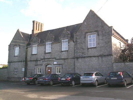 Saint Patrick's Hospitalworkhouse · 1542 yd
 Site of CastleCastle, unclassified · 1593 yd
 Hore AbbeyHeritage attraction · 1.2 mi
 Shanballyduff CastleCastle · 1.3 mi
 Black mulberryBlack mulberry · 1.3 mi
 Cashel Folk MusuemMuseum · 1.3 mi
 The Rock Of CashelVisitor information · 1.4 mi
 Dundrum Woods (Marl Bog)Forest · 7.7 mi
 Enclosure in KnockbullogeEnclosure · 674 yd