What is recorded here
No, because it is not an artificial mound, it is a natural hill. The chamber is the hill itself. The chamber is the hill itself. The chamber is the hill itself. The chamber is the hill itself. The chamber is the hill itself. The chamber is the hill itself. The chamber is the hill itself.
On a NE-facing slope in pasture. Not indicated on the 1837 or 1883 eds. of the OS 6-inch map. A raised circular area (diam. c. 22m) defined by a steep-sided scarp with a wide, shallow, external fosse. The original entrance is not recognisable. Within the interior is a low irregularly shaped mound (H c. 1m). This rath appears to have been modified and reused as a landscape feature in relatively modern times.
Compiled by: Patrick F. O'Donovan
Date of upload: 26 August 2011
The monument record does not grant public access. Check the route and ask the landowner before entering private land.
- What survives
- Recorded monument
Places near here
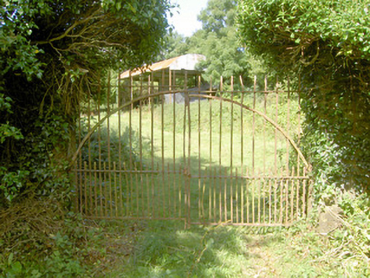 Cloonfin Housegates/railings/walls · 367 yd
 Orange FortFairy fort / earthen ringfort · 949 yd
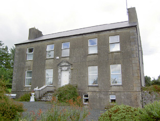 Spring Parkcountry house · 1400 yd
 Clonfin Ambush MemorialMemorial · 1468 yd
 Lismacaffry FortFairy fort / earthen ringfort · 1.0 mi
 BawnBawn · 1.5 mi
 Cloonfin WoodForest · 1.5 mi
 CastleCastle, unclassified · 1.8 mi
 Granard MotteMotte-and-bailey castle remains · 2.8 mi
 1798 Monumentmonument · 2.8 mi
 Ballinalee Forest WalkForest · 3.6 mi
 Bully's Acregraveyard/cemetery, unknown · 3.9 mi