What is recorded here
On a slight rise of ground with good views in all directions. Poorly preserved roughly circular area (diam. 26m NW-SE) defined by a scarp with external fosse which has been mainly filled in. No clear entrance feature visible. A large section of the enclosing element and the N quadrant of the interior has been quarried away. The scarp has been quarried out from NNE-E-SSE. Hachured as a circular enclosure on the 1837 ed. OS 6-inch map, and as a partial enclosure on the revised 1910 ed. OS 25 inch map. On this later map the N enclosing element of the monument is no longer depicted.
Compiled by: Caimin O’Brien
Date of upload: 26 July 2013
The monument record does not grant public access. Check the route and ask the landowner before entering private land.
- What survives
- Recorded monument
Places near here
 Partially hachuredFairy fort / earthen ringfort · 798 yd
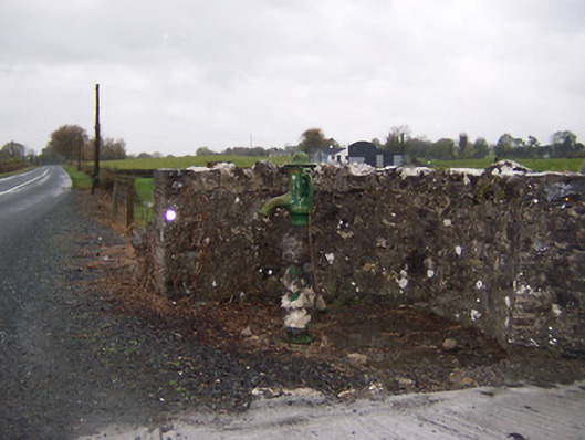 water pumpwater pump · 1030 yd
 post boxpost box · 1058 yd
 CastleCastle, tower house · 1206 yd
 Ecclesiastical enclosure in CastlelostEcclesiastical enclosure · 1450 yd
 Castlelost MoatCastle, motte and bailey · 1.1 mi
 Mollie Moo's Pet FarmHeritage attraction · 2.9 mi
 Blind IslandIslet · 3.5 mi
 Dysart IslandIsland · 4.2 mi
 Derrygreenagh HillMountain / peak · 4.3 mi
 Knockdrin HillMountain / peak · 5.2 mi
 GinkgoGinkgo · 12 mi