What is recorded here
Fairy fort in Whiterock, County Longford: a 41.1m earthen ring in low pasture, its thin bank and shallow ditch nearly lost beneath grass and traffic. The roadway cut through part of it, but the southern break still hints at the entrance, a narrow gap where people once entered a small defended world. What remains is humble, worn and half-erased, yet the circle endures in the field like a forgotten room in the earth.
In level, low-lying pasture. A raised circular area (diam. 41.1m) enclosed by a very low bank of earth and stone (Wth 3.2m; H 0.45m max.) with a shallow external fosse (Wth 2.8m; D 0.3m). From NNW-N-E it has been destroyed due to the construction of a modern NW-SE roadway. A narrow break (Wth 1.7m) in the bank at SSW with possible traces of an accompanying causeway may mark the original entrance.
Compiled by: Patrick F. O'Donovan
Date of upload: 26 August 2011
This remains an important historical record, but the official description says the monument is no longer visible or has been destroyed. The monument record does not grant public access. Check the route and ask the landowner before entering private land.
- What survives
- No visible remains or recorded as destroyed
Places near here
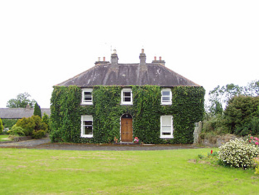 Williamstown Househouse · 606 yd
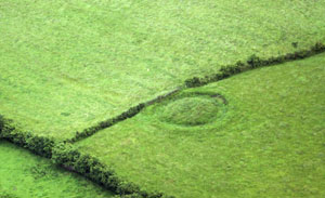 Fairy fort / earthen ringfort in ArdnacassaghFairy fort / earthen ringfort · 924 yd
 Enclosure in Cooleeny,whiterockEnclosure · 967 yd
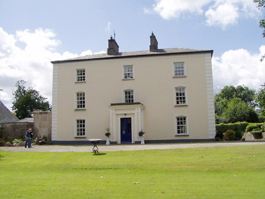 Viewmount Househouse · 1484 yd
 Saint Mel's CathedralCathedral · 1.6 mi
 First World War MemorialMemorial · 1.8 mi
 Bawn in AbbeycartronBawn · 1.9 mi
 CastleCastle, Anglo-Norman masonry castle · 1.9 mi
 Graveyard in Curry (ardagh By., Coolamber Ed)Graveyard · 4.0 mi
 Commons North WalkVisitor information · 10 mi
 Wild birdsVisitor information · 11 mi
 White Sand WoodWood · 11 mi