What is recorded here
Situated on a fairly level landscape. In July 2018 a drone-mounted camera operated by Páid Bates (Skypix Aerial Works) recorded an image of the cropmark of a circular enclosure (diam. c. 25m) defined by a single fosse feature with a wide entrance at NE.
See the attached aerial view taken from NW courtesy of Skypix Aerial Works
Compiled by: Michael Moore
Date of upload: 2 January, 2018
The monument record does not grant public access. Check the route and ask the landowner before entering private land.
- What survives
- Recorded monument
Places near here
 Embanked enlosureFairy fort / earthen ringfort · 914 yd
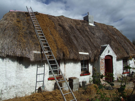 farm housefarm house · 1286 yd
 (site of) St. Davids ChurchChurch · 1294 yd
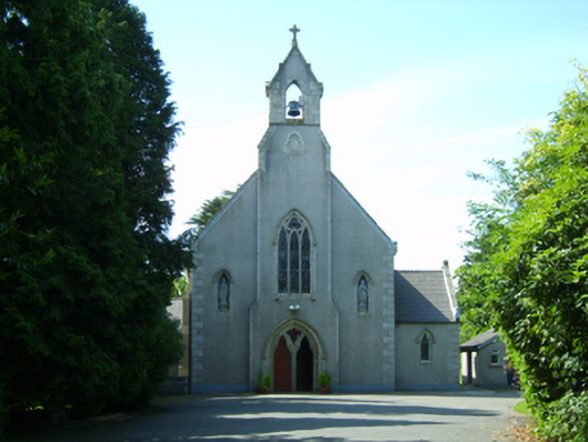 Saint David's Catholic Churchchurch/chapel · 1740 yd
 Embanked enclosureCastle, motte · 1.4 mi
 Eden ValeWood · 2.4 mi
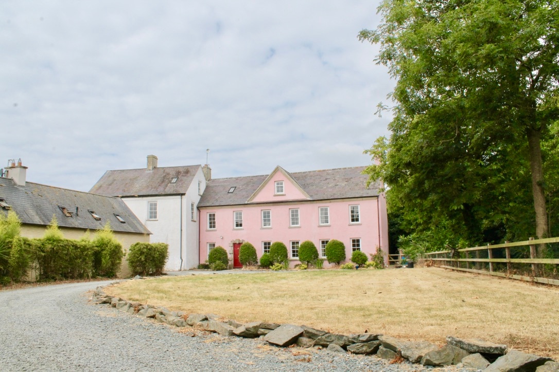 CastleCastle, tower house · 2.5 mi
 Peace GardenMemorial · 3.4 mi
 Ballywish SouthForest · 3.5 mi
 Celebrating 125 YearsMemorial · 3.7 mi
 CrannogHeritage attraction · 4.5 mi
 Irish National Heritage ParkHeritage attraction · 4.5 mi