What is recorded here
Located on fairly level landscape with a slight E-facing slope. In July 2018 a drone-mounted camera operated by Páid Bates (Skypix Aerial Works) recorded an image of the cropmark of a subcircular or D-shaped curvilinear enclosure (dims c. 32-35m NE-SW; c. 35m NW-SE) defined by a single narrow fosse feature with the straightest side at SE and two small entrance gaps on the NE side. It is overlain by the cropmarks of single ditches from the mapped field system that is now removed.
See the attached aerial view taken from E courtesy of Skypix Aerial Works
Compiled by: Michael Moore
Date of upload: 2 January, 2019
The monument record does not grant public access. Check the route and ask the landowner before entering private land.
- What survives
- Recorded monument
Places near here
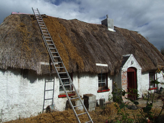 farm housefarm house · 230 yd
 Embanked enlosureFairy fort / earthen ringfort · 651 yd
 (site of) St. Davids ChurchChurch · 1020 yd
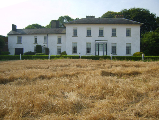 Kyle Housecountry house · 1596 yd
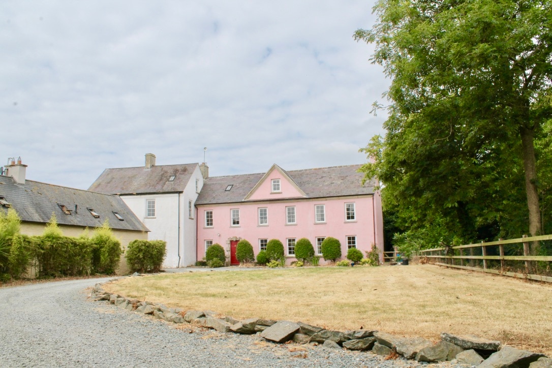 CastleCastle, tower house · 1.9 mi
 Artramon CastleCastle, tower house · 2.6 mi
 King's IslandIsland · 2.6 mi
 Celebrating 125 YearsMemorial · 3.0 mi
 Peace GardenMemorial · 3.3 mi
 Rectory Hall ForestWood · 3.5 mi
 Ballywish SouthForest · 3.5 mi
 Three Sisters River CruisesHeritage attraction · 5.2 mi