What is recorded here
Dense coniferous plantations now strangle the Whigsborough ringfort, hiding a crescent-shaped earthwork fifty-six metres across that once rose slightly above marshy ground. The site still holds a scarp, external bank and fosse tracing three sides of its perimeter, though no human hand has walked that circuit for decades. What lives inside the green dark is no longer certain. The forest has taken back what people built, and the boundary between made and natural has dissolved entirely.
Site is now inaccessible due to dense coniferous forest plantations. Located on a slight rise in marshy area. Described in 1972 (ASI file) as a crescent shaped area (diam 56m N-S; 53m E-W) delimited by a scarp, external bank and intervening fosse from N through E to S.
The above description is derived from the published 'Archaeological Inventory of County Offaly' (Dublin: Stationery Office, 1997). In certain instances the entries have been revised and updated in the light of recent research.
Date of upload: 23 May 2011
The monument record does not grant public access. Check the route and ask the landowner before entering private land.
- What survives
- Recorded monument
Places near here
 Castle IslandBawn · 532 yd
 Sterlings PaddockEnclosure · 793 yd
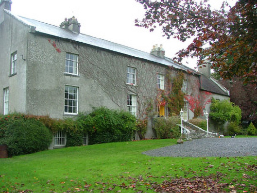 Whigsborough Housecountry house · 1025 yd
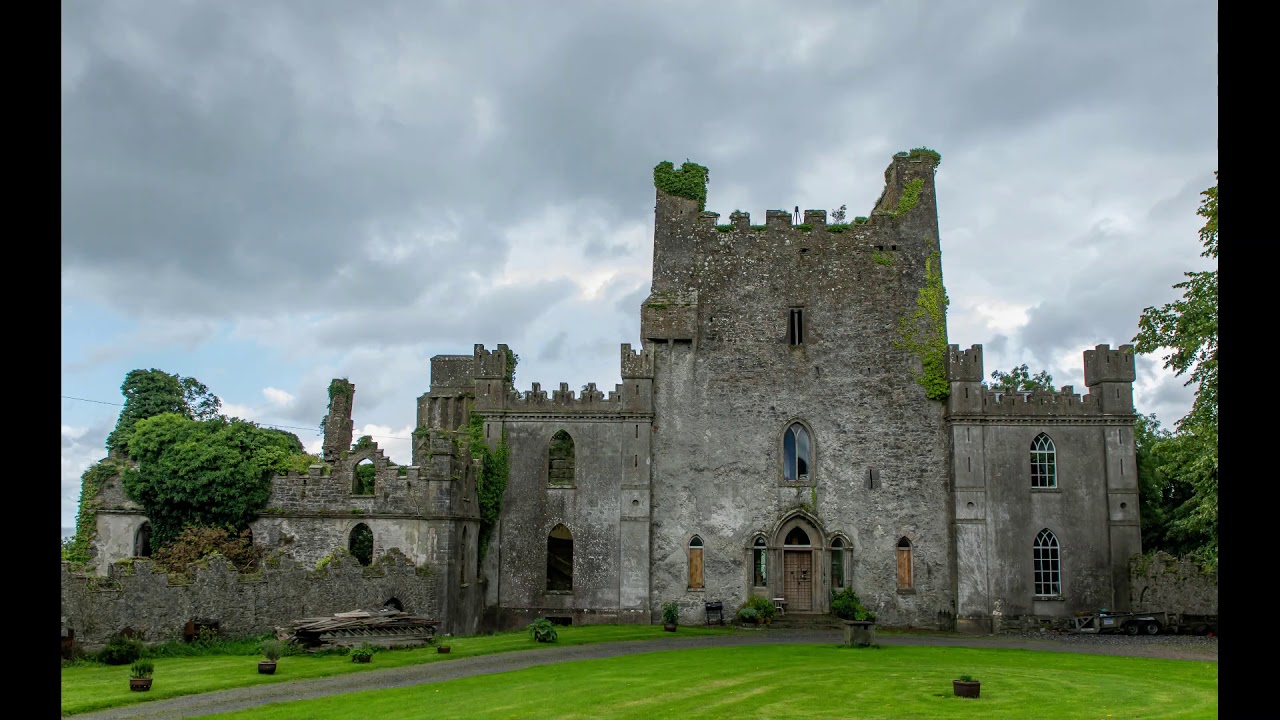 CastleCastle, unclassified · 1311 yd
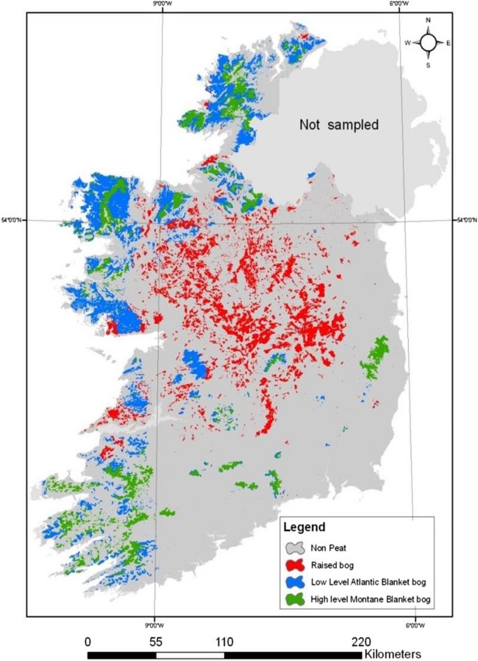 StructureStructure, peatland · 1.3 mi
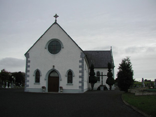 Saint James's Catholic Churchchurch/chapel · 1.4 mi
 Cloghan HillMountain / peak · 3.8 mi
 Woodville WoodWood · 3.9 mi
 All Saints' WellSpring · 4.5 mi
 European BeechEuropean Beech · 5.3 mi
 James Franklin FullerMemorial · 5.3 mi
 Birr Castlemachinery · 5.4 mi