What is recorded here
Roughly circular area (dims. 24m N-S; 25m E-W) defined by low curvilinear bank (Wth 11.1m; int. H 0.65m; ext. H 0.7m) E-SSW which has been levelled to a scarp (Wth 4m; H 0.4m) SSW-WNW. Linear scarp (Wth 5.4m; H 1.15m) defines straight NW and NE sides. Entrance (int. Wth 3.5m; ext. Wth 4.0m) at N. External fosse (Wth 9m; D 0.2m) is E-S-NW and level terrace (Wth 2.5m) exists NW-NNE; fosse in-filled NNE-E.
Compiled by: Jean Farrelly
Date of upload: 26 August 2011
The monument record does not grant public access. Check the route and ask the landowner before entering private land.
- What survives
- Recorded monument
Places near here
 Killusty Bridgebridge · 625 yd
 Clare Br.Bridge · 935 yd
 Clare Castle (in ruins)Castle, hall-house · 984 yd
 Killusty CastleCastle · 1062 yd
 CarrigdotiaMountain / peak · 1.0 mi
 IndicatedFairy fort / earthen ringfort · 1.3 mi
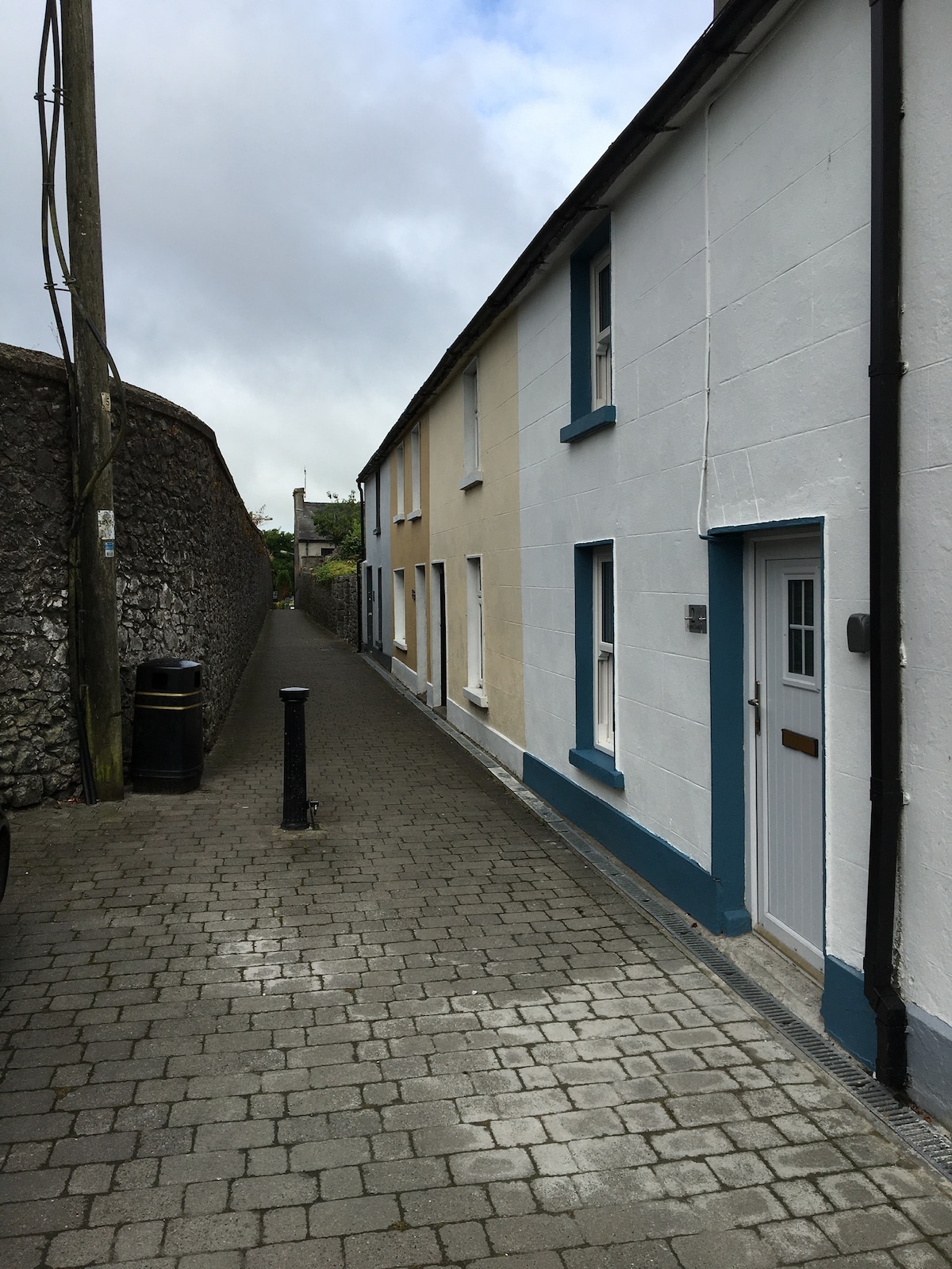 Enclosure in MilestownEnclosure · 1.3 mi
 CarrickbrockMountain / peak · 1.5 mi
 Pedunculate OakPedunculate Oak · 1.7 mi
 Grove WoodForest · 2.8 mi
 East GateMemorial · 3.3 mi
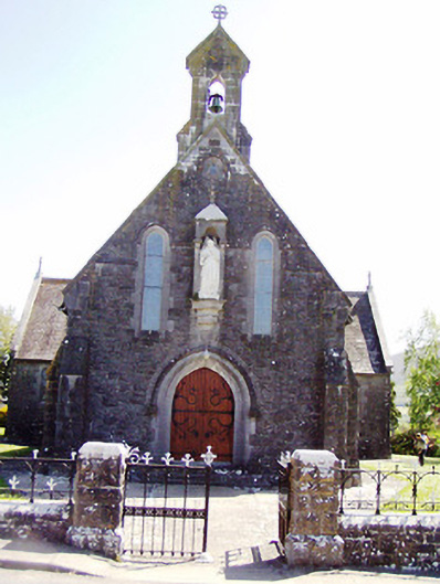 Catholic Church of the Sacred Heartchurch/chapel · 959 yd