What is recorded here
Fairy fort in Walshestown is a 50-metre earthen ring on a SE-facing slope, marked on the 1842 map and still holding a stone-faced outer bank. Its entrance faced north, its east side rose as a sharp scarp, and a possible underground passage lies hidden in the west half. People ploughed through it, levelled parts of the rampart, and forgot the shape beneath their feet. The fort did not disappear; it waited under pasture, patience and neglect.
In pasture, on SE-facing slope. Depicted as hachured circular enclosure (diam. c. 50m) on 1842 OS 6-inch map; defined by bank SSE->NNW and scarp elsewhere on 1904 OS 6-inch map; defined by scarp N->SW on 1938 OS 6-inch map. Circular area (50.5m E-W; 47.5m N-S) enclosed by low earthen bank (int. H 0.5m) to WNW; low undulations to W and N; scarp (H 1.8m) to E; external fosse (D 0.6m) SSE->W; outer earthen bank (H 1.4m) SSE->W. Outer bank stone-faced externally. Interior raised on E and S sides to compensate for hillslope; possible Man-made underground passage (CO072-050002-) in W half. Hartnett (1939, 135-6) describes inner rampart surviving in SW quadrant, but levelled to E and N; entrance to N; fort ploughed in the past.
The above description is derived from the published 'Archaeological Inventory of County Cork. Volume 3: Mid Cork' (Dublin: Stationery Office, 1997). In certain instances the entries have been revised and updated in the light of recent research.
Date of upload/revision: 14 January 2009
A fairy fort or earthen ringfort in Walshestown, likely dating to the early medieval period, is situated on a south-east facing slope and has been depicted on various Ordnance Survey maps from 1842 to 1938, showing evolving representations of its circular enclosure and earthworks. Local tradition associates such sites with fairy folk, and they were often avoided due to beliefs in their supernatural inhabitants.
The monument record does not grant public access. Check the route and ask the landowner before entering private land.
- What survives
- Recorded monument
Places near here
 Marys Well, Sundays WellHoly well · 339 yd
 Castle Inch (in Ruins)Castle, tower house · 993 yd
 Flooded buildingsRuins · 1083 yd
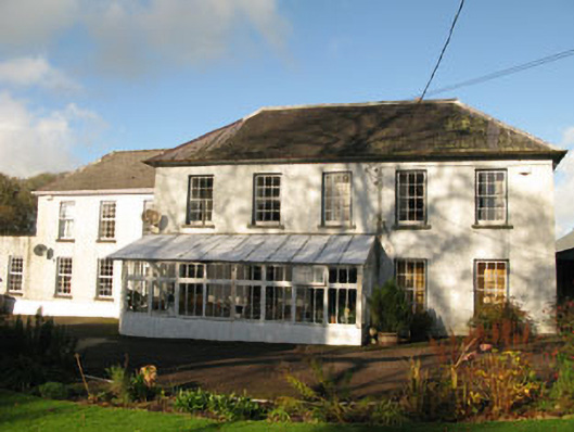 Clashanure Housecountry house · 1095 yd
 Bob AdamsMemorial · 1180 yd
 Abbey (Site of)Ecclesiastical site · 1410 yd
 Iniscarra Dam ViewViewpoint · 1729 yd
 Graveyard in Carrigane (muskerry East By.)Graveyard · 2.0 mi
 Ballyanly Inniscarra Slí na SláinteWalking route · 2.3 mi
 Coachford Greenway (End)Visitor information · 2.4 mi
 Kilcrea Castle (in Ruins)Castle, tower house · 2.5 mi
 Kilcrea CastleWood · 2.5 mi