What is recorded here
Muskerry East By. holds a thirty-five metre earthen ring where cattle trackways still cut through the bank. The north wall has surrendered to brambles and fence posts, yet the southeast gap remains visible beneath grass. A hidden passage may still breathe underneath the pasture, waiting for someone reckless enough to listen for its answer.
In pasture, on SE-facing slope, in corner of field. Depicted as hachured circular enclosure (diam. c. 40m) on 1842 OS 6-inch map; field fence truncates W side on 1904 and 1938 OS 6-inch maps. Circular area (diam. c. 35m) defined by earthen bank (H 1.3m) N->NE; low grass-covered rise (H 1m) NE->SSW. Bank to N heavily overgrown and incorporated into field fence system. Cattle trackways cut through bank at NE and SSW; break in low rise to SE may be original entrance. Field boundary running N-S truncates enclosure on Wside. Possible Man-made underground passage (CO072-049002-) in interior.
The above description is derived from the published 'Archaeological Inventory of County Cork. Volume 3: Mid Cork' (Dublin: Stationery Office, 1997). In certain instances the entries have been revised and updated in the light of recent research.
Date of upload/revision: 14 January 2009
The monument record does not grant public access. Check the route and ask the landowner before entering private land.
- What survives
- Recorded monument
Places near here
 Marys Well, Sundays WellHoly well · 497 yd
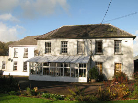 Clashanure Housecountry house · 845 yd
 Flooded buildingsRuins · 1160 yd
 Bob AdamsMemorial · 1170 yd
 Abbey (Site of)Ecclesiastical site · 1187 yd
 Castle Inch (in Ruins)Castle, tower house · 1200 yd
 Iniscarra Dam ViewViewpoint · 1.1 mi
 Graveyard in Carrigane (muskerry East By.)Graveyard · 2.2 mi
 Ballyanly Inniscarra Slí na SláinteWalking route · 2.3 mi
 Coachford Greenway (End)Visitor information · 2.3 mi
 Kilcrea Castle (in Ruins)Castle, tower house · 2.4 mi
 Kilcrea CastleWood · 2.4 mi