What is recorded here
In marshy ground, c. 50m N of the Arrow or Unshin River. The rath is densely covered with overgrowth making the interior inaccessible. An enclosing bank of earth and stone (Wth 4.75m; int. H 0.95m; ext. H 1.1m) is visible along the S arc. The nature of the enclosing element elsewhere, if any, is unknown. Indicated on the 1838 OS 6-inch map as an embanked circular area (diam. c. 20m) and on the 1913 OS 6-inch map as an arc (C c. 22m) of bank N-S.
The above description is derived from the published 'Archaeological Inventory of County Sligo' compiled by Ursula Egan, Elizabeth Byrne, Mary Sleeman with Sheila Ronan and Connie Murphy (Dublin Stationery Office, 2005).
Date of upload: 18 January 2008
The monument record does not grant public access. Check the route and ask the landowner before entering private land.
- What survives
- Recorded monument
Places near here
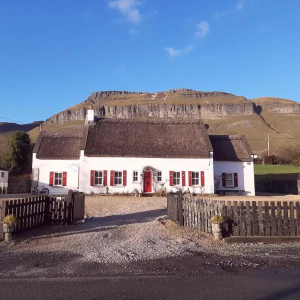 Enclosure in CloonmacduffEnclosure · 400 yd
 St. Patricks WellHoly well · 511 yd
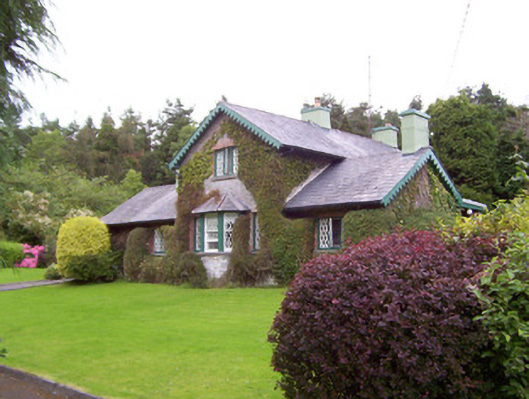 Deerpark Lodgegate lodge · 773 yd
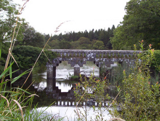 bridgebridge · 804 yd
 Union RockForest · 1209 yd
 Battle of Collooneybattle · 1503 yd
 Teeling MonumentMemorial · 1509 yd
 CastleCastle, motte and bailey · 1513 yd
 European ashEuropean ash · 1608 yd
 Castle (in Ruins)Castle, tower house · 2.1 mi
 BunreecoillMountain / peak · 2.1 mi
 Giants GraveArchaeological place · 2.4 mi