What is recorded here
Fairy fort in Ummeracly West: a shallow earthen circle, thirty-five metres across, half-swallowed by grass and field boundaries. The bank has thinned to a ridge in places, but the shape still holds, a room built for nobody or everyone. Perhaps it was a home, a boundary marker, or a child's idea of a castle before adulthood taught them better.
On a hummock in grassland. Poorly preserved subcircular rath (E-W 35.5m, N-S 35m) defined by a denuded bank from NNW to NW; elsewhere a scarp forms the enclosing element. A field boundary overlies the monument from NNW to NNE and another cuts it at NE and SE.
The above description is derived from the published 'Archaeological Inventory of County Galway Vol. II - North Galway'. Compiled by Olive Alcock, Kathy de hÓra and Paul Gosling (Dublin: Stationery Office, 1999).
Date of upload: 05 August 2010
The monument record does not grant public access. Check the route and ask the landowner before entering private land.
- What survives
- Recorded monument
Places near here
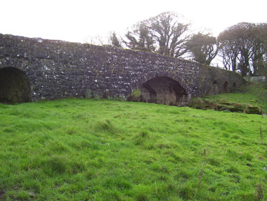 Liskeevy Bridgebridge · 934 yd
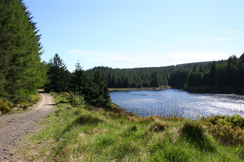 Structure in BanagherStructure · 946 yd
 Man-made underground passageMan-made underground passage · 1273 yd
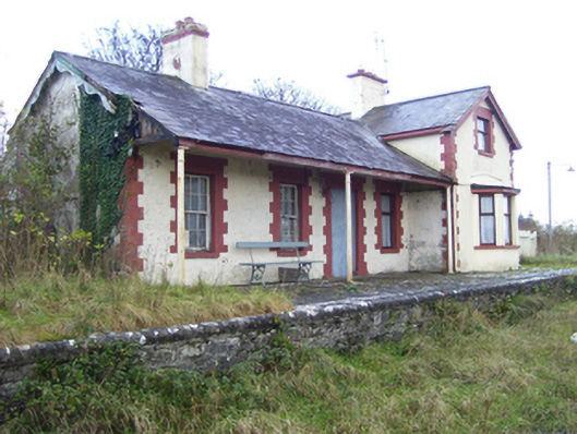 Milltown Railway Stationrailway station · 1471 yd
 Fartamore Castle (ruins)Castle · 2.0 mi
 Fartamore Castle in ruinsCastle, tower house · 2.0 mi
 European ashEuropean ash · 4.7 mi
 Mass RockNamed rock · 5.5 mi
 KnockmaaWood · 8.8 mi
 Ross Errilly FriaryHeritage attraction · 12 mi
 Inis Mhic an TrírIsland · 15 mi
 Otter IslandIslet · 15 mi