What is recorded here
Fairy fort in Ummera is a circular earthen ring, forty metres across, hidden beneath overgrowth on a south-facing slope in County Cork. Its bank rises seventy centimetres, faced with stone in places, while a shallow fosse cuts the ground to the northeast and northwest. People may have lived there before fields swallowed the edge, or perhaps the earth simply closed around a forgotten shape. Either way, the ring remains visible enough to mark, but obscured enough to resist certainty.
In tillage, below crest of hill on S-facing slope. Heavily overgrown circular area (diam. c. 40m) enclosed by earthen bank (int. H 0.7m), stone faced in parts. External fosse (D 0.75m) to NE and NW.
The above description is derived from the published 'Archaeological Inventory of County Cork. Volume 1: West Cork' (Dublin: Stationery Office, 1992). In certain instances the entries have been revised and updated in the light of recent research.
Date of upload/revision: 14 January 2009
The monument record does not grant public access. Check the route and ask the landowner before entering private land.
- What survives
- Recorded monument
Places near here
 Argideen Loop WalksVisitor information · 692 yd
 Cist in Killavarrig (carbery East (e.d) By.)Cist · 749 yd
 TobernabantiernaHoly well · 779 yd
 Johnny Sheila MurphyMemorial · 789 yd
 Inchy Bridgebridge · 812 yd
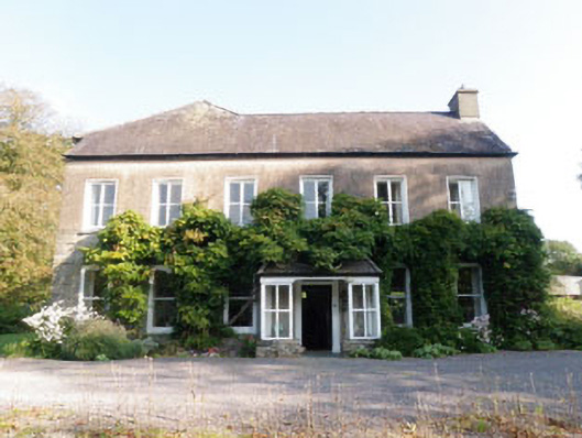 Ummera Househouse · 831 yd
 Argideen Valley trailVisitor information · 836 yd
 Timoleague CastleCastle, tower house · 1259 yd
 Burrane Castle (Site of)Castle, unclassified · 1452 yd
 Timoleague AbbeyHeritage attraction · 1668 yd
 Rail SignalHeritage attraction · 1.1 mi
 Kilnamanagh WoodWood · 1.2 mi