What is recorded here
Mnemo knows the flat place where the fort disappeared. She knows the shape of the missing ring and the reason the land stopped resisting her.
On a low rise in pasture. Depicted as a circular enclosure with the designation 'Fort' on the 1837 ed. of the OS 6-inch map and named 'Site of' on the 1883 revised edition. The monument has been levelled and house and garden occupy its interior.
Compiled by: Patrick F. O'Donovan
Date of upload: 18 January 2012
The monument record does not grant public access. Check the route and ask the landowner before entering private land.
- What survives
- Recorded monument
Places near here
 IndicatedEnclosure · 1750 yd
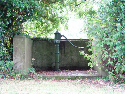 water pumpwater pump · 1.3 mi
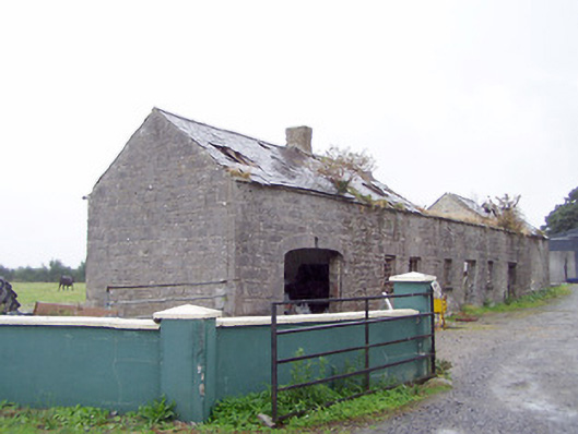 Cordara Houseoutbuilding · 1.3 mi
 Platform in Commons SouthPlatform · 1.5 mi
 Rathcline CastleBawn · 1.8 mi
 White Sand WoodWood · 1.8 mi
 Wild birdsVisitor information · 2.2 mi
 Ballyclare IslandIslet · 2.4 mi
 Commons North WalkVisitor information · 2.5 mi
 Goat's IslandIslet · 2.7 mi
 Caltragh CastleCastle, unclassified · 2.9 mi
 Culnagore WoodForest · 4.4 mi