What is recorded here
Fairy fort / earthen ringfort in Turlaghyraun is a fairy fort or earthen ringfort in Turlaghyraun, County Sligo, Ireland. The circular area is 28m across inside the bank. The earthen bank is 3m wide, 0.8m high inside and 1.5m high outside. A fosse 3.5m wide and 0.8m deep runs outside the bank.
In pasture, on the NE-facing slope of a ridge. A circular area (int. diam. 28m) enclosed by an earthen bank (Wth 3m; int. H 0.8m; ext. H 1.5m) with an external fosse (Wth 3.5m; D 0.8m). The entrance (Wth 1.5m) is at NE, with some stones on its S side and a causeway across the fosse. Named 'Cashel fort' on the 1838 OS 6-inch map. There are a few trees growing on the rath.
The above description is derived from the published 'Archaeological Inventory of County Sligo' compiled by Ursula Egan, Elizabeth Byrne, Mary Sleeman with Sheila Ronan and Connie Murphy (Dublin Stationery Office, 2005).
Date of upload: 18 January 2008
The monument record does not grant public access. Check the route and ask the landowner before entering private land.
- What survives
- Recorded monument
Places near here
 Saint Joseph's Catholic Churchchurch/chapel · 611 yd
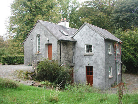 Newpark Housegate lodge · 1389 yd
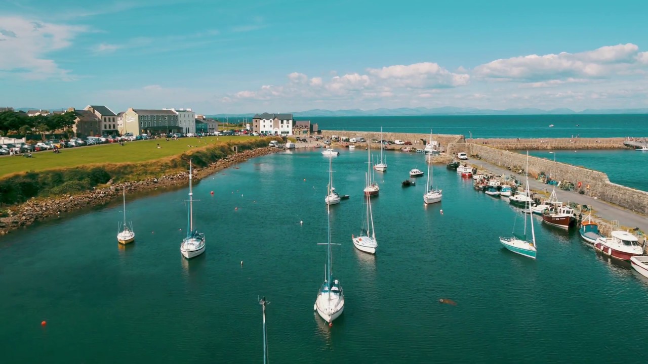 TobermorganHoly well · 1528 yd
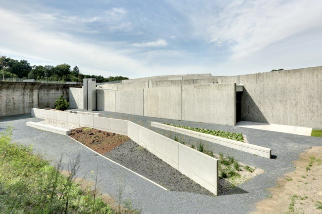 Ecclesiastical enclosure in NewparkEcclesiastical enclosure · 1.0 mi
 Behy Castle (in Ruins)Castle, tower house · 1.7 mi
 James MorrisonMemorial · 2.4 mi
 School CaveCave · 2.5 mi
 Bricklieve Castle (in Ruins)Castle, unclassified · 2.8 mi
 Brother WalfridMemorial · 2.8 mi
 Kesh CorannMountain / peak · 2.8 mi
 Riverstown Folk ParkHeritage attraction · 2.9 mi
 Caves of KeshCave · 3.0 mi