What is recorded here
Clear field, quiet road, and a broken ring of earth that still points back to human life.
Raised circular area (int. diam. c. 36m) enclosed by two earthen banks with wide, deep intermediate fosse. Outer bank may be relatively modern. Break in bank at SSW with traces of a possible accompanying causeway probably represents original entrance. Low raised circular platform at centre of internal area (diam. 9m) may represent a house site.
The above description is derived from the published 'Archaeological Inventory of County Cavan' (Dublin: Stationery Office, 1995). In certain instances the entries have been revised and updated in the light of recent research.
Date of upload/revision: 22 December 2008
The monument record does not grant public access. Check the route and ask the landowner before entering private land.
- What survives
- Recorded monument
Places near here
 Tullyunshin South ForestForest · 1105 yd
 CarrickallenMountain / peak · 1246 yd
 Carrickallen ForestForest · 1.0 mi
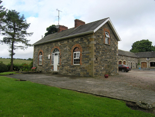 Beehivehouse, stables · 1.4 mi
 St. Michaels R. C. ChapelChurch · 1.6 mi
 CarrickacromanMountain / peak · 1.8 mi
 Giant's GraveArchaeological place · 2.4 mi
 Fairy fort / stone ringfort in KillymeehanFairy fort / stone ringfort · 2.4 mi
 Foundation Stone Blessed by Pope John Paul II 1979Memorial · 2.9 mi
 Holy WellHoly well · 2.9 mi
 Raven's RockNamed rock · 4.2 mi
 Site of Old CastleCastle, unclassified · 5.2 mi