What is recorded here
Fairy forts are human origins and memory, not literal fairy claims. Tullyskeherny is a small earthen ring on a ridge above the Ballagh stream, with a grassy centre, a bank, a shallow outer ditch, and no obvious entrance. It may have been a farm, a boundary marker, a seasonal shelter, or a place people avoided because it looked different. The missing entrance and the local name keep it alive as a threshold rather than a solved fact.
At the SW end of a slight NW-SW ridge (L of top c. 200m) on a NW-facing slope in the valley of the SW-NE Ballagh stream, which is c. 550m to the NW. Grass-covered circular area (int. diam. 34m NE-SW; 32m NW-SE) defined by an earthen bank (Wth 4.5m; int. H 0.5m; ext. H 1.4m) and hedge with an external flat-bottomed fosse (Wth 2.5m; D 0.3m). There is no identifiable original entrance.
The above description is derived from 'The Archaeological Inventory of County Leitrim' compiled by Michael J. Moore (Dublin: Stationery Office, 2003). In certain instances the entries have been revised and updated in the light of recent research.
Date of upload: 23 September 2008
The monument record does not grant public access. Check the route and ask the landowner before entering private land.
- What survives
- Recorded monument
Places near here
 Church in DerrynahimmirkChurch · 792 yd
 Big FortCeremonial enclosure · 1155 yd
 IndicatedFairy fort / stone ringfort · 1254 yd
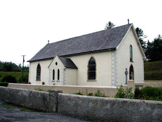 Saint Aidan's Catholic Churchchurch/chapel · 1292 yd
 Fowley's FallsPicnic place · 1.2 mi
 Saddle HillMountain / peak · 1.4 mi
 Giant's GraveArchaeological place · 1.9 mi
 Ross PointHeadland · 2.4 mi
 Dough MountainMountain / peak · 2.9 mi
 Kilroosk RockNamed rock · 3.2 mi
 Sally IslandIslet · 3.9 mi
 Bilberry IslandIslet · 3.9 mi