What is recorded here
Fairy forts are no joke. This is one, a grass-covered ring with an earth and stone bank on the Tullyskeherny plateau. The quarry in its southeast quadrant suggests people took stone from the structure itself, perhaps to build elsewhere or change the shape of the place. The absent entrance and hidden boundary turn the ring into a trap for memory, waiting for someone to remember how it worked.
Located towards the bottom of the NE-facing slope of the Tullyskeherny plateau. Grass-covered circular area (int. diam. 29m N-S; 28m E-W) defined by an overgrown earth and stone bank (Wth 2.5m; int. and ext. H 0.7m). There is no visible fosse or identifiable original entrance, but there is a quarry in the SE quadrant.
The above description is derived from 'The Archaeological Inventory of County Leitrim' compiled by Michael J. Moore (Dublin: Stationery Office, 2003). In certain instances the entries have been revised and updated in the light of recent research.
Date of upload: 23 September 2008
The monument record does not grant public access. Check the route and ask the landowner before entering private land.
- What survives
- Recorded monument
Places near here
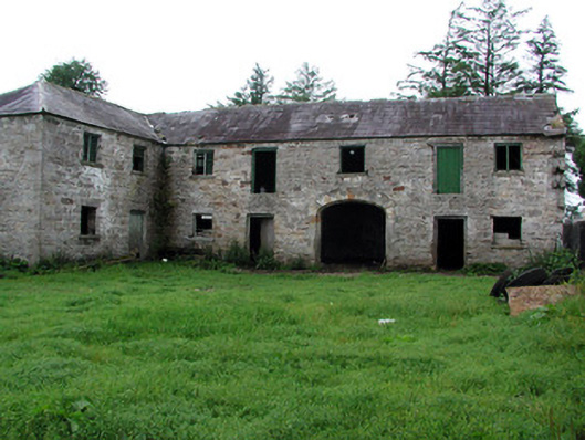 Hollymountoutbuilding · 611 yd
 IndicatedFairy fort / earthen ringfort · 623 yd
 Enclosure in GlenboyEnclosure · 654 yd
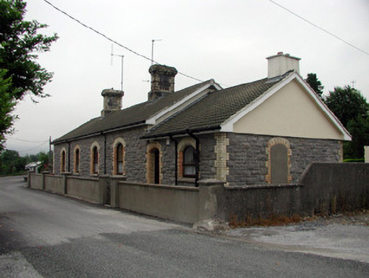 Manorhamilton Railway Stationrailway station · 1.0 mi
 The Giants GraveArchaeological place · 1.1 mi
 Giants RockNamed rock · 2.0 mi
 Ballaghnabehy TopMountain / peak · 3.0 mi
 Dough MountainMountain / peak · 3.4 mi
 Kilroosk RockNamed rock · 3.5 mi
 Ashisland WoodForest · 4.0 mi
 Longhill WoodForest · 4.2 mi
 Castle CarCastle · 4.6 mi