What is recorded here
Situated on a gentle S/SE-facing slope. Circular area (diam. 32.7m) defined by an earth and shale bank (Wth 7m; int. H 0.8m (NE) - 1.5m (SW); ext. H 1.8-1.9m) with near vertical drystone external facing (probably not original) at the NW, and slight traces of a fosse (Wth 1.4m), also at the NW. There is an entrance gap (Wth 4.2m) at the SE. No indication of internal features.
The above description is derived from the published 'Archaeological Inventory of County Wicklow' (Dublin: Stationery Office, 1997). In certain instances the entries have been revised and updated in the light of recent research.
Date of upload/revision: 17 December 2008
The monument record does not grant public access. Check the route and ask the landowner before entering private land.
- What survives
- Recorded monument
Places near here
 IndicatedFairy fort / earthen ringfort · 449 yd
 Enclosure in TullyluskEnclosure · 723 yd
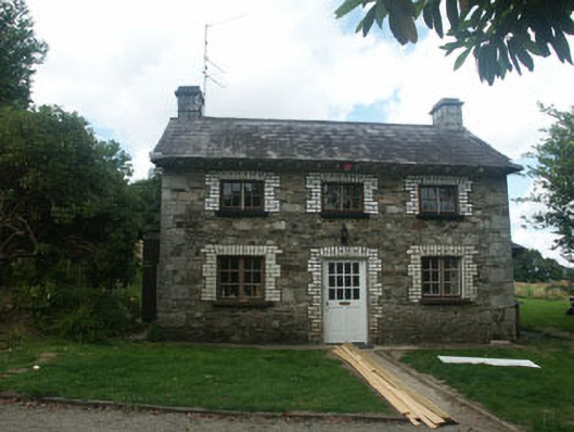 Kilmacurraghgate lodge · 1513 yd
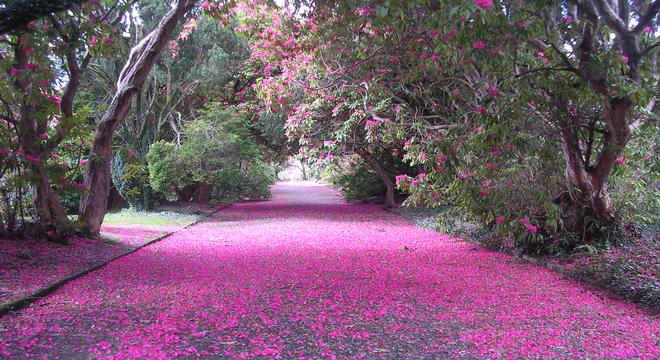 Kilmacurragh ArboretumForest · 1.1 mi
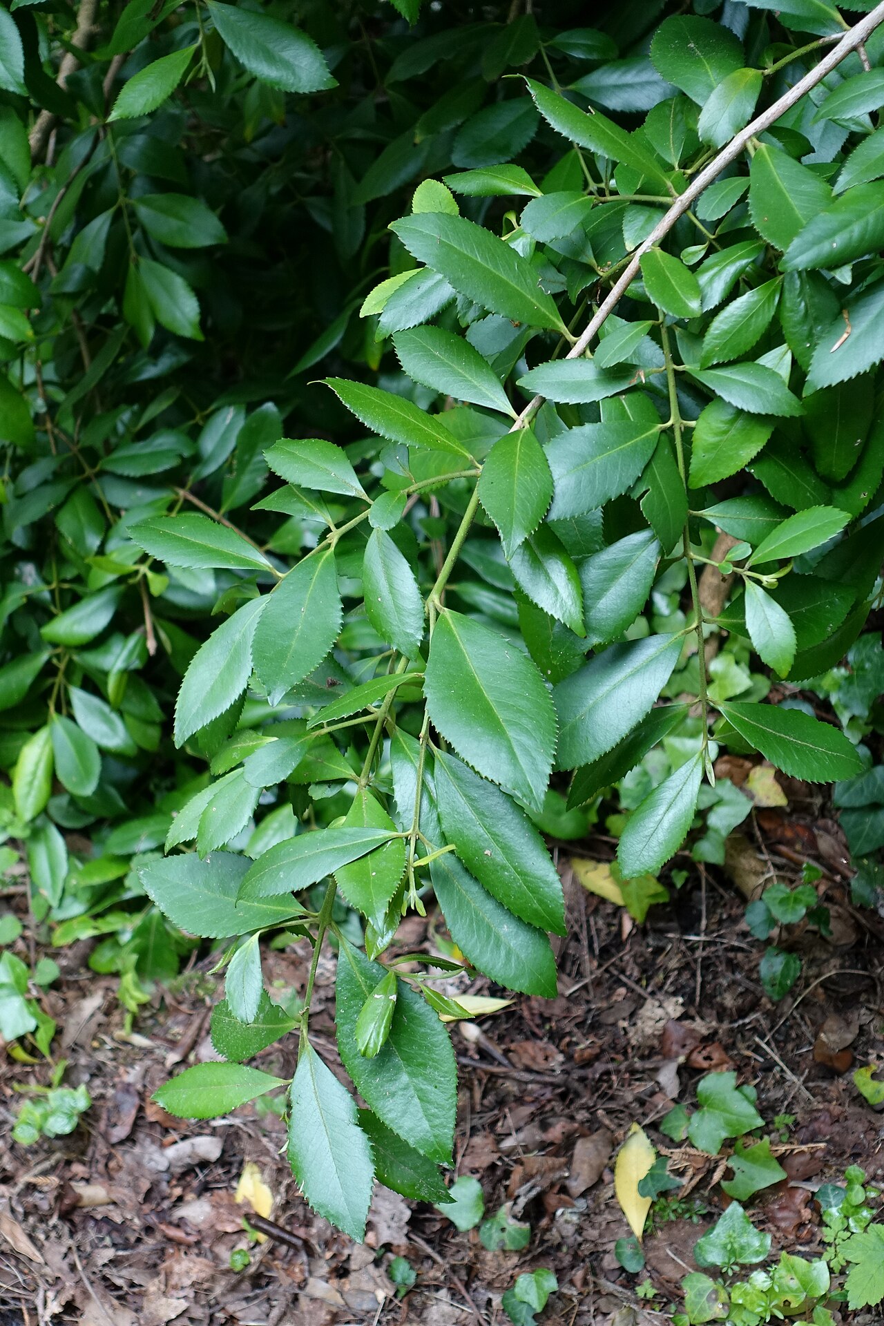 Chilean laurelChilean laurel · 1.2 mi
 Church in Westaston DemesneChurch · 1.3 mi
 Viewing TowerHeritage attraction · 2.1 mi
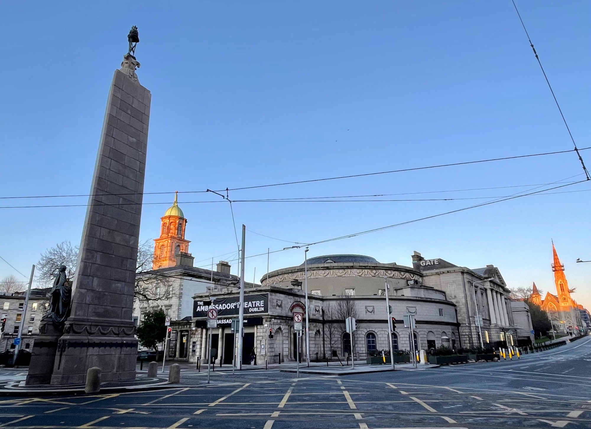 Parnell MonumentMemorial · 2.2 mi
 Wicklow 400Memorial · 2.2 mi
 Castle in ruinsCastle, tower house · 2.5 mi
 BallinastrawMountain / peak · 2.9 mi
 Meeting of the WatersHeritage attraction · 3.6 mi