What is recorded here
Fairy fort in Tullyglass, County Monaghan: a circular grass place, 40m across, with a thick earthen bank, a hollow way outside it, and an eastern entrance. It sits at the south-east end of a short drumlin ridge, where the land rises like the back of something buried. The outer bank has partly become a field boundary, yet the ring still reads as a choice made by human hands: enclose this place, mark it, keep it separate.
Located at the SE end of a short NW-SE drumlin ridge. This is a circular grass-covered area (diam. 40m NE-SW; 38m NW-SE) defined by an earthen bank (Wth of base 8.6- 9.4m; int. H 1.4-1.7m; ext. H 2.7-3m) with some trees and furze separated by a fosse (Wth of top 7.5-8m; ext. D 1.4-1.8m) from an outer bank, which is incorporated into a field bank (Wth of base 4-4.5m; ext. H 0.6-0.9m) and hedge E-S-W, but had been removed elsewhere by 1995 OSAP). The entrance through the inner (Wth of base 2.3m) bank and a causeway (Wth of top 2.9m) are at E but no gap can be seen in the field bank outside. A quarry has been dug though the inner bank at WSW.
The above description is derived from the published 'Archaeological Inventory of County Monaghan' (Dublin: Stationery Office, 1986). In certain instances the entries have been revised and updated in the light of recent research.
Revised by: Michael Moore
Date of revision: 30 January 2018
The monument record does not grant public access. Check the route and ask the landowner before entering private land.
- What survives
- Recorded monument
Places near here
 Tally WoodWood · 411 yd
 IndicatedCrannog · 689 yd
 mill (water)mill (water) · 1085 yd
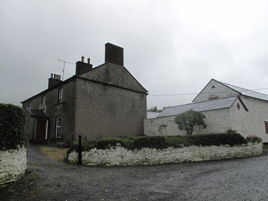 Farm Hillfarmyard complex · 1121 yd
 Not inidcatedHut site · 1308 yd
 Lough Egish IslandIslet · 2.0 mi
 Rock IslandIslet · 2.1 mi
 CarrickcreenyMountain / peak · 3.9 mi
 RaferaghMountain / peak · 4.1 mi
 Sillan LakeshoreWood · 4.1 mi
 Bawn in LisdrumskeaBawn · 4.3 mi
 TobernagalliaghSpring · 4.6 mi