What is recorded here
Mortons and trolls have never been seen there, though the land still keeps its shape. A dead lane crosses the east side, marking the fort as a place people once entered and left. The earth remembers the route even when the road has forgotten it.
Located towards the top of the N-facing slope of a drumlin. This is an overgrown subcircular or oval area (dims 28m E-W; 24m N-S; int. dims 26m E-W; 18.5m N-S) defined by an earthen bank (Wth 3.5-5m; int. H 0.2m; ext. H 1.4-1.7m) which is separated by a fosse (Wth of top 5.4-5.8m; Wth of base 2-3.5m) from an outer bank (Wth 4.5-5m; int. H 0.9-1.5m; ext. H 1m). The original entrance is not identified, but the E part of the monument is overlain by the only surviving remnant of a N-S laneway.
The above description is derived from 'The Archaeological Inventory of County Leitrim' compiled by Michael J. Moore (Dublin: Stationery Office, 2003). In certain instances the entries have been revised and updated in the light of recent research.
Date of upload: 23 September 2008
The monument record does not grant public access. Check the route and ask the landowner before entering private land.
- What survives
- Recorded monument
Places near here
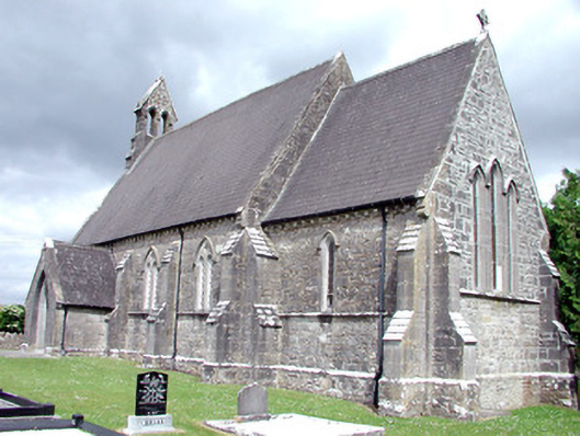 Saint Patrick's Church (Carrigallen)church/chapel · 383 yd
 Moyagh ChurchChurch · 406 yd
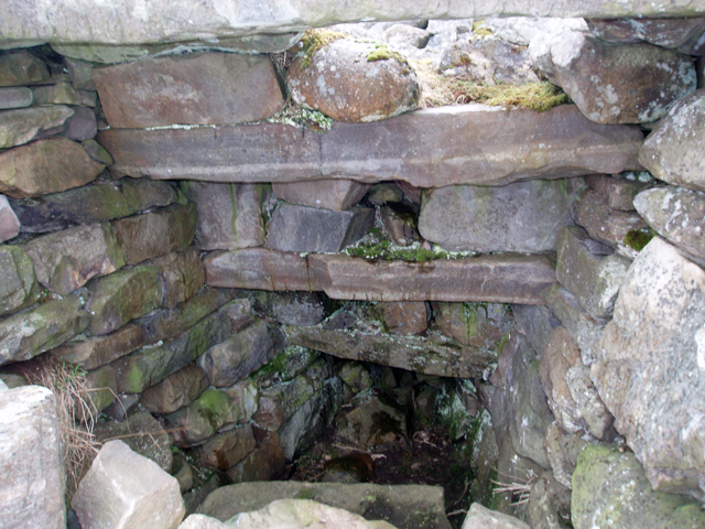 Outlined, Corn KilnEnclosure · 598 yd
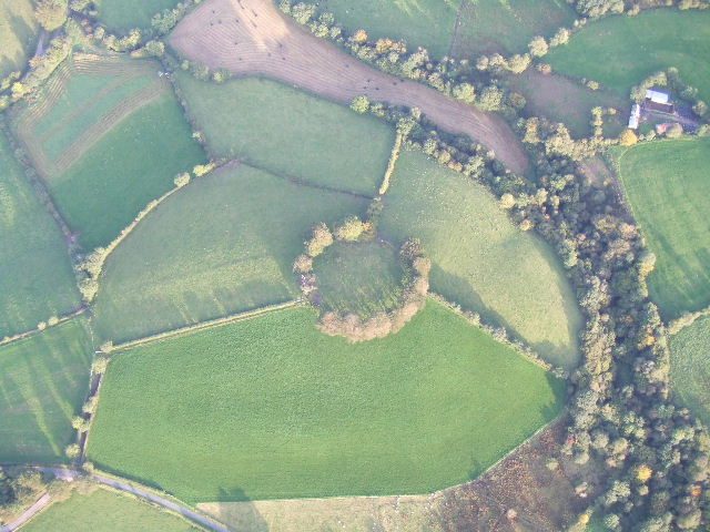 Fairy fort / earthen ringfort in MullyasterFairy fort / earthen ringfort · 1389 yd
 DerrynigginMountain / peak · 1730 yd
 Crane IslandIslet · 1.2 mi
 BatteryBawn · 1.2 mi
 DrummuckerMountain / peak · 1.4 mi
 Cherry IslandIslet · 1.4 mi
 Bawn in Cherry IslandBawn · 1.5 mi
 Black PoplarBlack Poplar · 1.7 mi
 Swan Island pet farmHeritage attraction · 1.9 mi