What is recorded here
Susan Curran revealed the hidden ringfort on a Leitrim drumlin when LiDAR stripped away centuries of grass and forgetting. The earth still holds a shallow circular scar, perhaps thirty metres across, marked by faint fosse traces and a missing entrance that defies easy drawing. It sits beside two other raths, suggesting a small cluster of human ambition rather than a lonely mistake. The fort may have housed families, stored grain, or witnessed arguments about land, yet it returned quietly to the ridge after the people left.
Located on a knoll at the SW end of a NE-SW drumlin ridge. It was first identified by Susan Curran as part of an M.A. Thesis with University College Dublin using a LiDAR survey dataset commissioned by Leitrim County Council and the National Roads Authority. This is a subcircular grass-covered area (dims 32.5m N-S; 28m E-W) defined by a scarp (H 0.3m at N; 0.5m at E and S to 0.8m at W), with traces of a fosse at N (Wth of top 3m; D 0.2m) and S (Wth of top 5m; D 0.1m) across the ridge of the drumlin. There is no identifiable entrance but the interior is overlain by an ENE-WSW field bank and drain S of the centre, and there is a N-S track through the field bank. There is a rectangular grass-covered mound (dims of base 7m E-W; 4.7m N-S; dims of top 6.2m E-W; 3.6m N-S; H 0.4-0.6m) with some trees outside the perimeter at NNE, which may have been built by the Ordinance Survey to provide a spot-height (276') on top of the hill. Rath (LE031-119----) is c. 35m to the W in Kiltycarney townland and rath (LE031-053----) is c. 85m to the NW.
Compiled by: Michael Moore
Date of upload: 9 April, 2013
Amended: 15 April, 2014; 11 May, 2015
The monument record does not grant public access. Check the route and ask the landowner before entering private land.
- What survives
- Recorded monument
Places near here
 IndicatedEnclosure · 239 yd
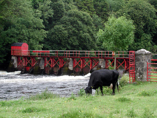 sluice/sluice gatesluice/sluice gate · 1180 yd
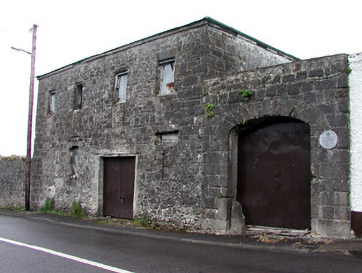 store/warehousestore/warehouse · 1264 yd
 Enclosure in GarvloughEnclosure · 1271 yd
 Patrick Gill Memorial Plaque (IRA)Monument · 1.4 mi
 Robert Strawbridge MemorialMemorial · 1.4 mi
 CastlecarraCastle, unclassified · 1.6 mi
 Wildlife AreaNature reserve · 1.7 mi
 Moon RiverHeritage attraction · 2.3 mi
 Site of Dangan CastleCastle, unclassified · 3.1 mi
 Leabaidh DermotCave · 4.2 mi
 Mullinashee WoodForest · 4.8 mi