What is recorded here
Fairy forts are not fairy forts. They are human ringforts, misnamed because people stopped remembering the humans who built them. This is one of those: a 43.7-metre circle on an ENE-facing slope in Tully, with a low earth-and-stone bank, a shallow outer ditch, and a southeast gap that probably marked the entrance. The fairies are the easiest story to tell, but the shape is the harder one to answer.
On an ENE-facing slope in pasture. A raised circular area (diam. 43.7m) enclosed by a low bank of earth and stone (Wth 4.1m; H 0.1-1.2m) with a shallow external fosse (Wth 3.9m; D 0.6m). A break (Wth 3.1m) in the bank at SE with traces of an accompanying causeway probably marks the original entrance.
Compiled by: Patrick F. O'Donovan
Date of upload: 26 August 2011
The monument record does not grant public access. Check the route and ask the landowner before entering private land.
- What survives
- Recorded monument
Places near here
 IndicatedFairy fort / earthen ringfort · 337 yd
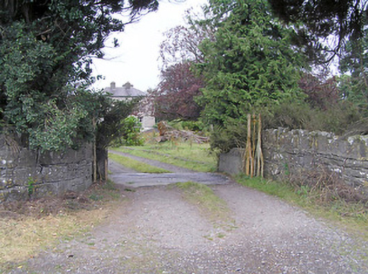 Cartroncar Housegates/railings/walls · 519 yd
 Enclosure in Tully (granard By.)Enclosure · 966 yd
 CastleCastle, unclassified · 1398 yd
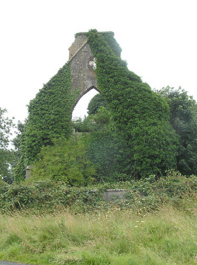 Tully Presbyterian Churchchurch/chapel · 1543 yd
 Moat & FortCastle, motte and bailey · 1742 yd
 Clonfin Ambush MemorialMemorial · 1.8 mi
 Ballinalee Forest WalkForest · 4.0 mi
 Granard MotteMotte-and-bailey castle remains · 4.2 mi
 1798 Monumentmonument · 4.3 mi
 Bully's Acregraveyard/cemetery, unknown · 4.4 mi
 CartronfreeMountain / peak · 7.2 mi