What is recorded here
Fairy fort / earthen ringfort in Tully (carrigallen By.) is a grass and rush-covered circular area defined by an overgrown earthen bank and traces of an external fosse. It sits on the E-facing slope of a drumlin, with a western entrance and causeway that may be modern. The shape is simple enough to walk, but the bank, ditch and slope suggest people shaped the land long before the drain recut the fosse.
Situated on the E-facing slope of a drumlin. This is a grass and rush-covered circular area (diam. 31.4m E-W; 28m N-S; int. dims 27.7m E-W; 24.8m N-S) defined by an overgrown earthen bank (Wth 2.5-4.3m; max. int. H 0.4m; ext. H 1.3-1.6m), with traces of an external fosse (Wth of top 3.5-4m; D 0.4-0.6m) W-N-E which has been recut as a drain (Wth at base 1m; D 0.8m) elsewhere. There is an entrance (Wth 3.3m) and causeway (Wth 4.4m) at W, which may be modern but no other entrance was identified.
The above description is derived from 'The Archaeological Inventory of County Leitrim' compiled by Michael J. Moore (Dublin: Stationery Office, 2003). In certain instances the entries have been revised and updated in the light of recent research.
Date of upload: 23 September 2008
The monument record does not grant public access. Check the route and ask the landowner before entering private land.
- What survives
- Recorded monument
Places near here
 IndicatedFairy fort / stone ringfort · 270 yd
 St Everans WellHoly well · 1072 yd
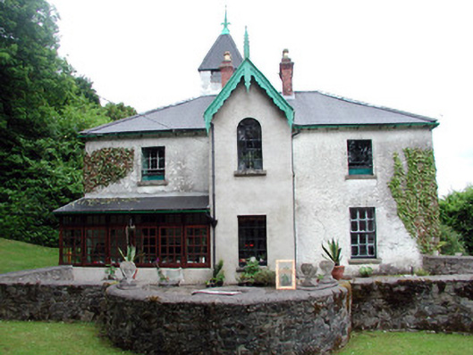 Lawderdale Housecountry house · 1357 yd
 AbbeyChurch · 1738 yd
 Buck IslandIsland · 1.6 mi
 Crane IslandIslet · 1.7 mi
 CastleCastle, tower house · 2.0 mi
 CastleforeCastle, tower house · 2.7 mi
 DrumbadMountain / peak · 2.9 mi
 Cromlin Bridge WoodWood · 3.6 mi
 European ashEuropean ash · 3.8 mi
 DrumgownaghMountain / peak · 4.6 mi