What is recorded here
Mortons and Friel's stories claim the site is a fairy fort, but measurement shows an earthen ringfort: a subcircular platform twenty-eight and a half metres long, twenty-five metres wide, and up to one metre high, surrounded by a fosse three to five metres across at the top and up to one metre deep. It sits on a gentle northeast-facing slope between two drumlin ridges, now hidden inside coniferous forest, with a roadway cutting its eastern edge and a field bank trimming the northwest. No entrance survives clear enough to name, yet the shape remains: a made circle, slightly broken, still holding its line on the hill.
Located towards the top of the gentle NE-facing slope of col between drumlin just to the SE and NW and in a coniferous forest. This is a subcircular platform (dims 28.5m N-S; 25m E-W; H 0.6-1m) defined by a fosse (Wth of top 3.3-5.4m; Wth of base 2-3.5m; D 0.4-1m). An original entrance is not identified. The perimeter is disturbed at E by a roadway and truncated slightly at NW by a field bank.
The above description is derived from 'The Archaeological Inventory of County Leitrim' compiled by Michael J. Moore (Dublin: Stationery Office, 2003). In certain instances the entries have been revised and updated in the light of recent research.
Date of upload: 23 September 2008
The monument record does not grant public access. Check the route and ask the landowner before entering private land.
- What survives
- Recorded monument
Places near here
 IndicatedFairy fort / stone ringfort · 668 yd
 Fairy fort / ringfort in AghavaddenFairy fort / ringfort · 1303 yd
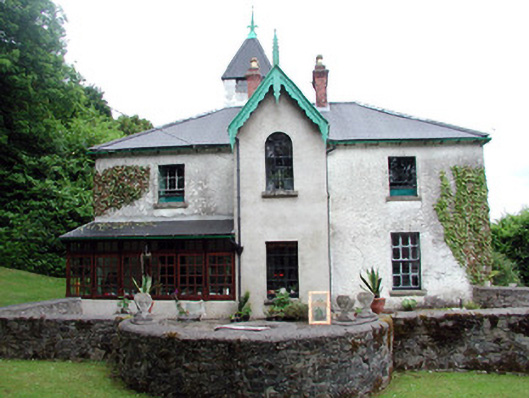 Lawderdale Housecountry house · 1694 yd
 AbbeyChurch · 1.2 mi
 Buck IslandIsland · 1.3 mi
 Crane IslandIslet · 1.5 mi
 CastleCastle, tower house · 1.9 mi
 CastleforeCastle, tower house · 2.6 mi
 DrumbadMountain / peak · 2.8 mi
 Cromlin Bridge WoodWood · 3.4 mi
 European ashEuropean ash · 3.6 mi
 DrumgownaghMountain / peak · 4.5 mi