What is recorded here
Situated on a low rise, in pasture, overlooked by a wide, gradual rise to SE, Tullymagawly 145m to NE. An inauguration site (WM029-030----) of the Magawly family and a bawn (WM029-031----) lie c. 140m and 150m to NW and WNW, respectively. Not depicted on OS mapping. Monument described in 1980 as an oval-shaped area (dims. 34m NE-SW; 24.5m NW-SE) defined by a scarp (H 2m) which is best preserved from ENE-E-SSE and is lower (H 1m) from SSE-S-SW-W-NE. There is a slight ledge at the base of the scarp from SSE-S-SW. The top is platform-like and has a very slight NE-facing slope with faint traces of old cultivation ridges running NE-SW. A field fence skirts the base of the scarp at NE. This earthwork may be related to the inauguration site of the Magawly clan and could have been used as an inauguration mound. Monument is visible today as an oval-shaped earthwork on Digital Globe aerial photography.
Compiled by Alison McQueen, Vera Rahilly and Caimin O’Brien.
Date of upload: 08 November 2019
A fairy fort or earthen ringfort in Tully, likely an early-medieval defensive or agricultural site, is associated with local inauguration traditions linked to the Magawly family. It is connected to nearby historical features, including a bawn and a recorded inauguration site.
The monument record does not grant public access. Check the route and ask the landowner before entering private land.
- What survives
- Recorded monument
Places near here
 TullymagawlyBawn · 189 yd
 Partially indicatedEnclosure · 417 yd
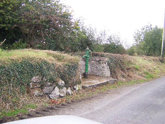 water pumpwater pump · 675 yd
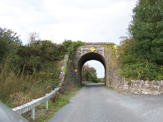 bridgebridge · 1170 yd
 Ecclesiastical enclosure in FassaghEcclesiastical enclosure · 1418 yd
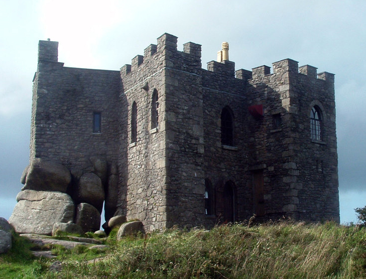 Carn CastleCastle, tower house · 1.6 mi
 European ashEuropean ash · 3.8 mi
 Wren's IslandIslet · 4.3 mi
 Long IslandIsland · 4.4 mi
 Athlone Music MuseumMuseum · 4.5 mi
 1916 Centenery CommemorationMemorial · 4.5 mi