What is recorded here
Thirty metres across, the ringfort in Tullig casts a shallow shadow on the eastern slope. Two earthen banks and a narrow ditch enclose the grass, while deciduous trees soften the ridges. The western entrance cuts through both banks like a forgotten door. cattle might have circled the inside, people might have watched the road from the trees, and the fairies might have kept the center for themselves.
In pasture, on E-facing slope, 150m to W of Tullig House. Circular area (31.7m ENE->WSW; 31.5m N-S) enclosed by two earthen banks with intervening fosse; external fosse (D 0.4m) SSW->SE. Berm along inner face of outer bank NNE->NNW. Inner (int. H 0.3m; 1.3m to base of fosse) and outer bank (int. H 1.2m to base of fosse; ext. H 0.9m) planted with deciduous trees. Entrance (Wth through inner bank 4m; outer bank 5.6m) to E. Third earthen bank SSW->NW concentric with fosse except to NW where it curves in towards second bank; may be later feature.
The above description is derived from the published 'Archaeological Inventory of County Cork. Volume 4: North Cork' (Dublin: Stationery Office, 2000). In certain instances the entries have been revised and updated in the light of recent research.
Date of upload/revision: 14 January 2009
The monument record does not grant public access. Check the route and ask the landowner before entering private land.
- What survives
- Recorded monument
Places near here
 Enclosure in Tullig (orrery and Kilmore By.)Enclosure · 84 yd
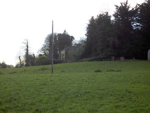 Tullig Housecountry house · 208 yd
 Bregoge Househouse · 470 yd
 Fulacht fia in BregogeFulacht fia · 679 yd
 CarrigadoonCastle, unclassified · 1002 yd
 Churchtown TrailsVisitor information · 1.1 mi
 Lady's WellSpring · 1.3 mi
 Lisgriffin CastleCastle · 1.3 mi
 Buttevant Rail DisasterMemorial · 1.8 mi
 David HurleyMemorial · 2.3 mi
 SycamoreSycamore · 2.3 mi
 Battle of LiscarrollMajor battlefield · 3.7 mi