What is recorded here
Mangerton Mountain watches the circular earthworks in Tullig, where a broken southern bank may have marked the entrance for people who lived beneath that vast sky. Cattle now cross the site and trees obscure the rath, yet the northern arc still stands firm against centuries of rain and forgetting. The fairies likely never existed, but human imagination needs plausible boundaries, and a ring of earth on a mountain slope provides one.
In pasture, on a N-facing slope with views S to Mangerton Mountain. A raised circular area (27m E-W; 24m N-S) defined by a flat-topped earthen bank (Wth 4.3m; int. H 0.55m; ext. H 1.7m) best preserved along the N arc, by an intervening flat-bottomed fosse (Wth 4.2m) and a possible outer earthen bank (Wth 3.75m; int. H 0.77m; ext. H 0.6m). The interior slopes down gently to the NW. A break (Wth 3m) at S may indicate the entrance. There is a cattle break (Wth 1m) at SSW. The outer bank SSE-SSW is incorporated into a recent E-W field boundary. Trees and overgrowth partially obscure the rath.
Compiled by: Elizabeth Byrne, Ursula Egan and Sheila Ronan, Archaeological Survey Unit, University College, Cork.
Date of upload: 31 January 2011
The monument record does not grant public access. Check the route and ask the landowner before entering private land.
- What survives
- Recorded monument
Places near here
 Enclosure in ParkEnclosure · 603 yd
 IndicatedFairy fort / earthen ringfort · 678 yd
 Mass RockNamed rock · 1.0 mi
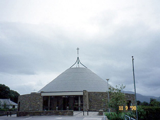 Catholic Church of the Resurrectionchurch/chapel · 1.1 mi
 Mount Prospect Ho.Country house · 1.2 mi
 Lissivigeen Stone CircleHeritage attraction · 1.2 mi
 Flesk CastleCastle · 1.6 mi
 Kerry 2nd Brigade of the Irish Republican ArmyMemorial · 1.7 mi
 GinkgoGinkgo · 1.7 mi
 Killarney First World War MemorialMemorial · 1.7 mi
 Jaunting ToursHeritage attraction · 1.8 mi
 The WildernessForest · 2.1 mi