
What is recorded here
In rough, poorly drained area of improved pasture, to S of shallow land drain. Field reclaimed by track machine in recent years, unearthing substantial boulders that were reburied (local information). Reported to the Archaeological Survey of Ireland as an extant cairn. There is no visible surface trace of a cairn at this location. A roughly circular cropmark is evident at this location upon aerial photography (OSi 2005). This is no longer evident at ground level or upon more recent aerial images (Bing 2013).
Compiled by: Alison McQueen and Vera Rahilly
Date of upload: 18 November 2014
The monument record does not grant public access. Check the route and ask the landowner before entering private land.
- What survives
- Recorded monument
Places near here
 IndicatedFairy fort / earthen ringfort · 714 yd
 Mass RockNamed rock · 1228 yd
 Lissivigeen Stone CircleHeritage attraction · 1547 yd
 Fulacht FianFulacht fia · 1568 yd
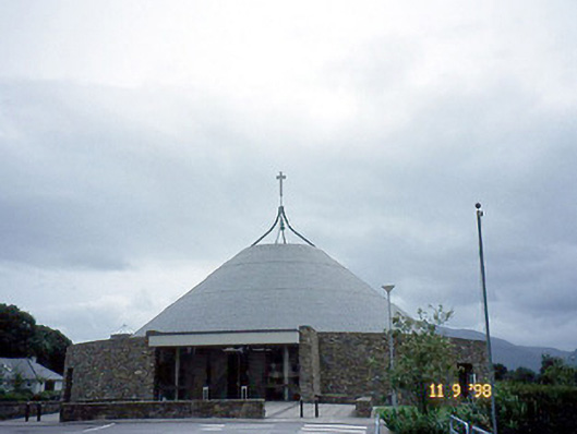 Catholic Church of the Resurrectionchurch/chapel · 1622 yd
 Woodfordhouse · 1749 yd
 Flesk CastleCastle · 1.3 mi
 Killarney First World War MemorialMemorial · 1.6 mi
 Kerry 2nd Brigade of the Irish Republican ArmyMemorial · 1.6 mi
 Jaunting ToursHeritage attraction · 1.7 mi
 GinkgoGinkgo · 1.7 mi
 The WildernessForest · 2.0 mi
Other information
Photo: Credit not shown in the picture search · Rights wording not checked; contact us if this picture should be removed