What is recorded here
Half of Tullavally's fairy fort has vanished under modern fields, but the remaining earthen ring still holds a wide, waterlogged ditch that catches rain like a shallow well. The broken northern entrance invites entry into a circular space twenty-six metres across, large enough for a household but small enough to feel owned. People may have lived inside the bank before boundaries redrew the land, yet the drowned ditch and hidden half suggest the fort refuses to be fully known.
Raised circular area (int. diam. 26m) enclosed by a substantial earthen bank and a fosse which is wide, shallow and waterlogged and identifiable only from SW-W-NE. From ESE-SSW the bank has been modified and is surmounted by a modern field boundary. Wide break in bank at NNW probably represents original entrance.
The above description is derived from the published 'Archaeological Inventory of County Cavan' (Dublin: Stationery Office, 1995). In certain instances the entries have been revised and updated in the light of recent research.
Date of upload/revision: 22 December 2008
The monument record does not grant public access. Check the route and ask the landowner before entering private land.
- What survives
- Recorded monument
Places near here
 Giant's GraveArchaeological place · 823 yd
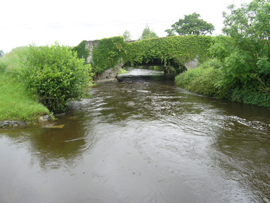 Curravogy Bridgebridge · 1149 yd
 Fort HenryArchaeological place · 1343 yd
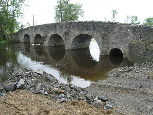 Rathkenny Bridgebridge · 1355 yd
 Embanked enclosureBawn · 1.2 mi
 Rookery WoodForest · 1.2 mi
 McCullagh's PlantationWood · 1.3 mi
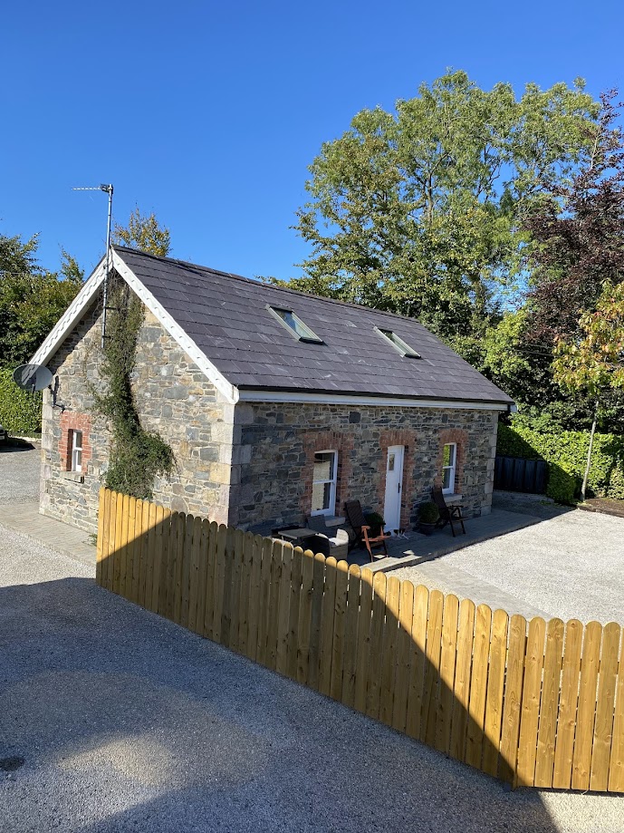 Enclosure in RakennyEnclosure · 1.4 mi
 DernaskeaghMountain / peak · 1.4 mi
 CastleCastle, unclassified · 1.7 mi
 BarraghMountain / peak · 2.5 mi
 Giants GraveArchaeological place · 3.4 mi