What is recorded here
No amount of thinking will solve what observation refuses to reveal.
Situated just off the summit of a hill. Listed as 'Enclosure, possible' in the SMR (1992) and the RMP (1996). A fragment of a bank is hachured on the 1921 ed. of the OS 6-inch map. An arc of a grass-covered earthen bank (Wth 3-3.8m; int. H 0.2-0.6m; ext. H 0.4-0.5m) survives SW-NE (18.7m NE-SW; 17m NW-SE) but the perimeter can be traced as a slight scarp (max. H 0.1m) elsewhere. There is no visible fosse or entrance.
Compiled by: Michael Moore
Date of upload: 31 May 2016
The monument record does not grant public access. Check the route and ask the landowner before entering private land.
- What survives
- Recorded monument
Places near here
 Knockagure FortFairy fort / earthen ringfort · 1310 yd
 Knockreagh FortFairy fort / earthen ringfort · 1490 yd
 Shallee Castle (in Ruins)Castle, tower house · 1.1 mi
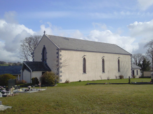 Saint Joseph's Catholic Churchchurch/chapel · 1.3 mi
 Bushypark Househouse · 1.4 mi
 Poul na gollorCave · 1.9 mi
 Inch Castle (in Ruins)Castle, tower house · 2.3 mi
 Alice and Gwendoline CaveMuseum · 3.5 mi
 Post Office FieldNature reserve · 3.7 mi
 Rockmount WoodWood · 3.7 mi
 Clare MuseumMuseum · 3.9 mi
 Ennis AbbeyMuseum · 3.9 mi