What is recorded here
Situated on a prominent ridge, in pasture. The N52 road lies c. 70m to E. Monument described in 1971 as a circular-shaped area (diam. 30.5m) enclosed by a bank, an intervening fosse and an outer bank. The inner earth and stone bank is high and steep on the exterior and is almost reduced to a scarp. There is a wide fosse and the fragmentary remains of an outer bank. The original entrance is not visible. The interior rises slightly from the perimeter towards the centre and a house site is in the S quadrant. A house site (WM026-025003-) is within the S quadrant and a field system and a complex of house sites (WM026-025002-) are to the immediate SSW, outside the ringfort.
Compiled by Alison McQueen, Vera Rahilly and Caimin O’Brien.
Date of upload: 30 September 2019
The monument record does not grant public access. Check the route and ask the landowner before entering private land.
- What survives
- Recorded monument
Places near here
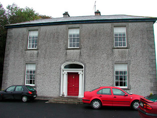 Clonmoyle Househouse · 545 yd
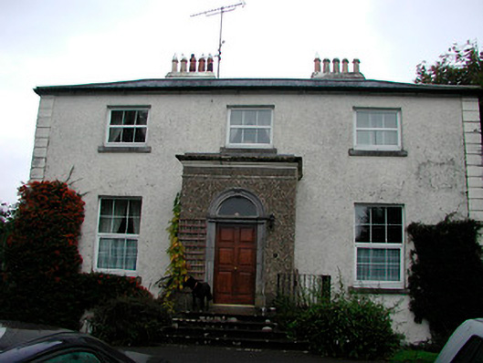 Ennel Lodgehouse · 857 yd
 Mass-rock in Gorteen (fartullagh By.)Mass-rock · 924 yd
 OutlinedFairy fort / earthen ringfort · 1043 yd
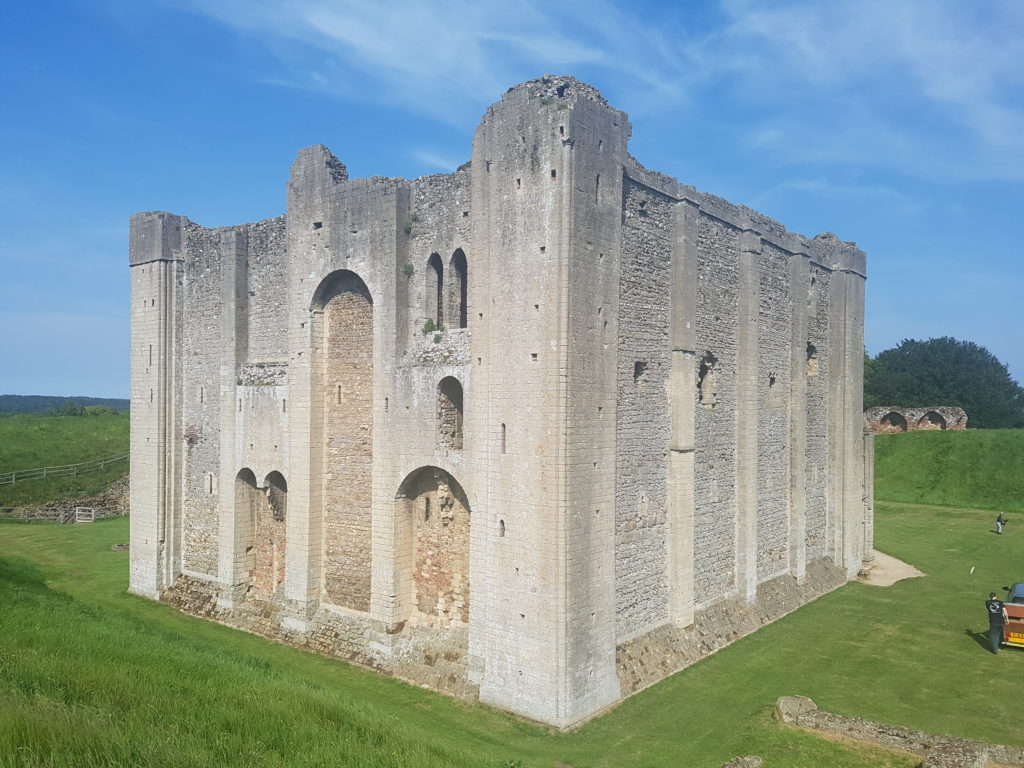 CastleCastle, unclassified · 1.2 mi
 Boardstown Castle (in Ruins)Castle, tower house · 1.5 mi
 Belvedere house and gardensVisitor information · 1.7 mi
 Mollie Moo's Pet FarmHeritage attraction · 2.1 mi
 United Nations War MemorialMemorial · 3.3 mi
 Ash IslandIslet · 3.5 mi
 Dysart IslandIsland · 3.5 mi
 Saint Brigid's WellSpring · 4.1 mi