What is recorded here
Fairy fort / earthen ringfort in Tullanisky is a fairy fort or earthen ringfort in Tullanisky, County Westmeath, Ireland. A 1971 description records the site as an oval area measuring 51 metres on a north-east to south-west axis and 47.5 metres on a north-west to south-east axis, enclosed by an inner bank, an intervening fosse, an outer bank, and an outer fosse. The inner bank is high and steep on the exterior, with its best preservation noted from south-east through south to south-west, while the outer bank consists of earth and stone with a post and wire fence along its upper edge. Remains of the wide outer fosse are recorded from north-north-east through north-east to east-north-east and from south-south-west through south-west to west-south-west, corresponding to gaps in the inner and outer banks at south and north-north-west where modern gateways stand.
Situated on a small rise, in gently undulating pasture. Monument described in 1971 as an oval-shaped area (dims. 51m NE-SW; 47.5m NW-SE) enclosed by an inner bank, an intervening fosse, an outer bank and an outer fosse. The inner bank is high and steep on the exterior and is best preserved from SE-S-SW and is almost reduced to a scarp elsewhere. The intervening fosse is wide and deep. The outer bank of earth and stone is substantial. The outer face has been modified in relatively modern times and a post and wire fence has been erected along its upper edge. There are remains of a wide outer fosse from NNE-NE-ENE and from SSW-SW-WSW. There are corresponding gaps in the inner and outer banks and a causeway at S and also the same at NNW. Both of the outer gaps have a modern gateway. Modern fences intersect the outer bank at ESE, WSW and N. The interior has a gentle WSW-facing slope and there is a sunken trackway leading from the inner gap at NNW towards the centre. A large concrete-lined silage pit has been cut into the perimeter at E and occupies part of the E quadrant. There is a large rectangular patch of concrete on the surface at the W end.
See attached profile of monument surveyed and drawn by the ASI.
Compiled by Alison McQueen, Vera Rahilly and Caimin O’Brien.
Date of upload: 02 October 2019
The monument record does not grant public access. Check the route and ask the landowner before entering private land.
- What survives
- Recorded monument
Places near here
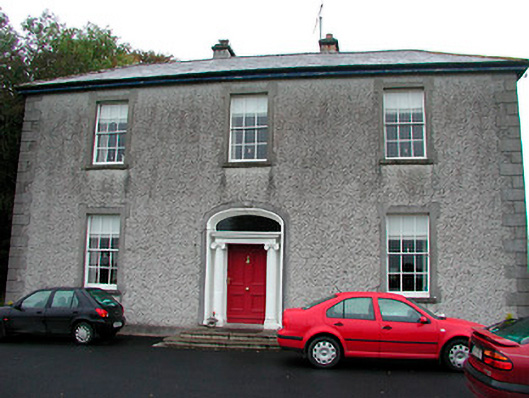 Clonmoyle Househouse · 149 yd
 Font (present location) in GainestownFont (present location) · 915 yd
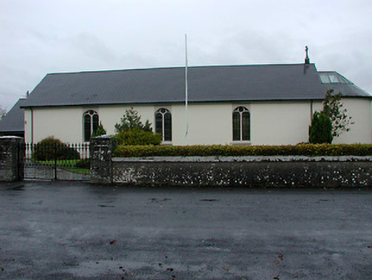 Catholic Church of the Immaculate Conceptionchurch/chapel · 922 yd
 OutlinedFairy fort / earthen ringfort · 1189 yd
 CastleCastle, tower house · 1499 yd
 Boardstown Castle (in Ruins)Castle, tower house · 1.4 mi
 Belvedere house and gardensVisitor information · 2.0 mi
 Mollie Moo's Pet FarmHeritage attraction · 2.3 mi
 Famine MemorialMemorial · 2.4 mi
 United Nations War MemorialMemorial · 3.3 mi
 Ash IslandIslet · 3.8 mi
 Dysart IslandIsland · 3.9 mi