What is recorded here
Situated on a rise, in a small pasture field, adjoining the S boundary of Tullaghnageeragh House to SW, with good views in all directions. Annotated 'Fort' on the 1837 OS Fair Plan map and depicted as a roughly oval-shaped earthwork. Depicted on the revised 1910 ed. OS 25-inch map as a curvilinear field boundary marking the W arc of the enclosing bank, otherwise incorporated into the rear yard of Tullaghnageeragh House. Monument described in 1979 as an oval-shaped area (dims. 29m E-W; 21m N-S) defined by a steep scarp at NNW and from E-S-SSW and incorporated in modern field walls from SW-W-N-NNW. There is no sign of an entrance. The interior rises slightly from the perimeter towards the centre and there are no discernible features. Ruined shed on N. Monument is visible today as a roughly oval-shaped tree-planted area on Digital Globe aerial photography.
Compiled by Alison McQueen, Vera Rahilly and Caimin O’Brien.
Date of upload: 10 November 2019
A fairy fort or earthen ringfort in Tullaghnageeragh is a likely early-medieval defensive or agricultural site, characterized by its oval shape and elevated position. Such sites are often associated with local folklore involving fairies or ancient inhabitants, though specific legends for this one are not recorded.
The monument record does not grant public access. Check the route and ask the landowner before entering private land.
- What survives
- Recorded monument
Places near here
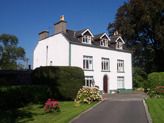 Tullaghnageeragh Houseoutbuilding, house · 57 yd
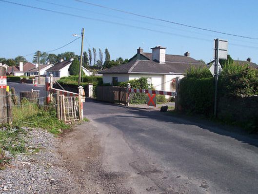 level crossinglevel crossing · 130 yd
 Dún na SíMuseum · 537 yd
 Dún na Sí Heritage CentreMuseum · 625 yd
 Charles BianconiMemorial · 1054 yd
 Moate HillMountain / peak · 1341 yd
 Bawn in Cartronkeel (clonlonan By.)Bawn · 1448 yd
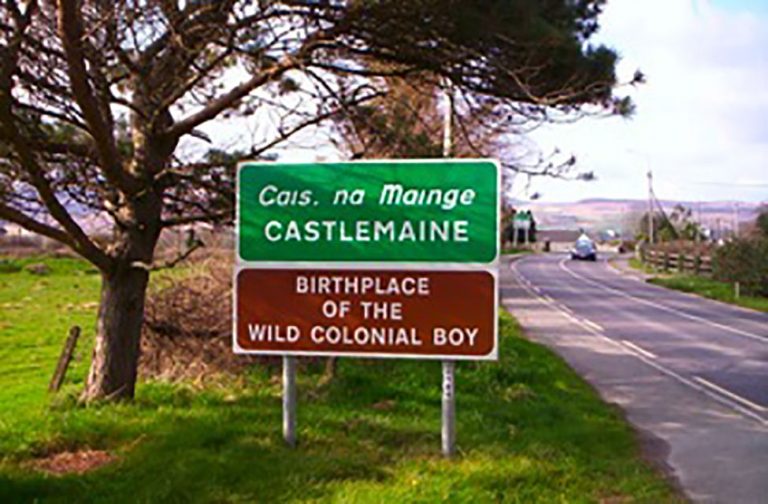 OutlinedFairy fort / earthen ringfort · 1.0 mi
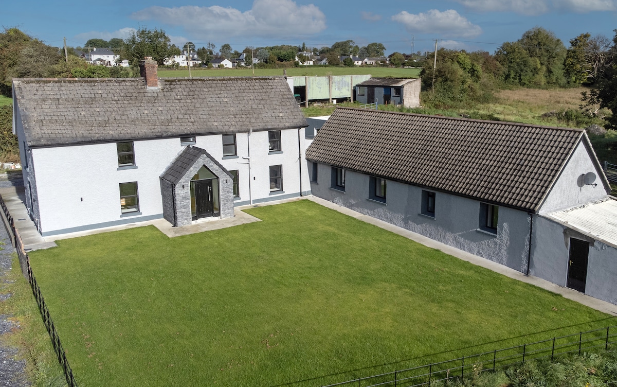 Bawn in DuneganBawn · 1.6 mi
 Roughan HillMountain / peak · 3.9 mi
 ToberaskeenSpring · 4.3 mi