What is recorded here
Situated on a level, low-lying landscape. The faint cropmark of a D-shaped enclosure (dims c. 40m N-S; c. 25m E-W) defined by a single fosse feature is visible on the W side of a N-S field bank and townland boundary with Tullybards Great on aerial photograph (ASIAP (436) 17).
Compiled by: Michael Moore
Dae of upload: 16 October, 2013
The monument record does not grant public access. Check the route and ask the landowner before entering private land.
- What survives
- Recorded monument
Places near here
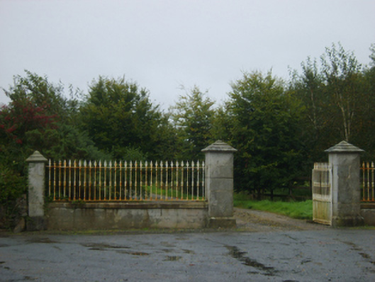 Wood Villegates/railings/walls · 453 yd
 Church (Site of)Church · 507 yd
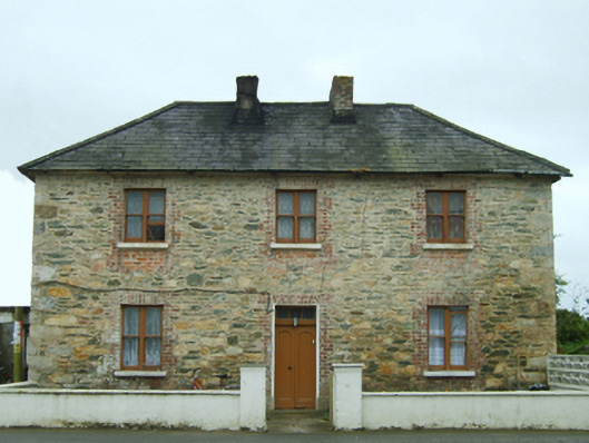 Bridgetown Constabulary BarrackRIC barracks · 953 yd
 St. Davids Well (Site of)Holy well · 994 yd
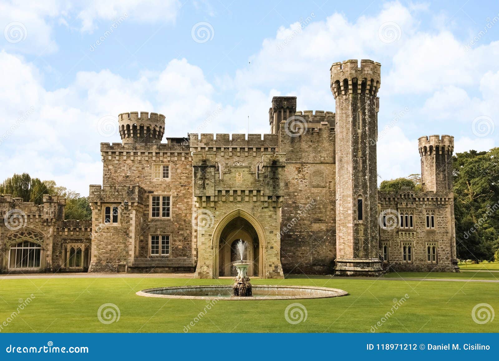 site of CastleCastle, unclassified · 1014 yd
 TumulusCastle, motte · 1.0 mi
 1798 Memorial PlaqueMemorial · 2.4 mi
 The Bull RockForest · 2.5 mi
 The Heron's MeadowForest · 2.6 mi
 Ballyhealy BeachBeach / strand · 2.7 mi
 The White Hole BeachBeach / strand · 3.2 mi
 Ivan Sutton Art ExhibitionGallery · 3.7 mi