What is recorded here
Fairy fort in Tubrid More, County Kerry: a circular earthen enclosure marked on the 1841-42 and 1898 OS maps, still faintly visible in 1977 aerial photographs, now absent from the surface. It may have been a boundary marker, a seasonal shelter or a place people avoided because it belonged to someone else. The disappearance does not make it lesser; it makes the field remember what it stopped showing.
Marked on the 1841-42 and 1898 OS maps as a circular enclosure, a slight trace of it can be seen on the Geological Survey of Ireland's aerial photographs (1977). No surface trace survives today.
The above description is derived from C. Toal, ‘North Kerry Archaeological Survey’. Dingle. Brandon in association with FAS Training and Employment Authority (1995), no. 787. In certain instances the entries have been revised and updated in the light of recent research.
Date of upload: 2 August 2013
The monument record does not grant public access. Check the route and ask the landowner before entering private land.
- What survives
- Recorded monument
Places near here
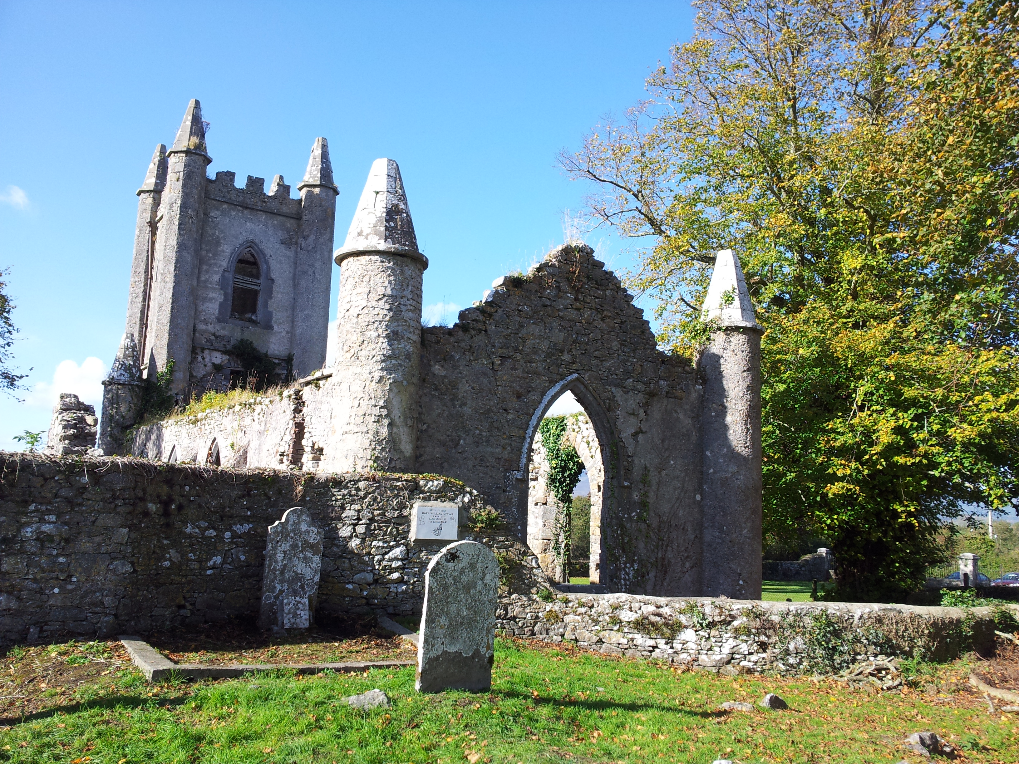 Enclosure in Tubrid MoreEnclosure · 437 yd
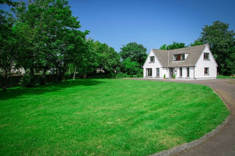 Hut site in ArdfertHut site · 483 yd
 Ardfert Franciscan FriaryVisitor information · 1054 yd
 Abbey (in ruins)Religious house, Franciscan friars · 1064 yd
 Ardfert FriaryVisitor information · 1091 yd
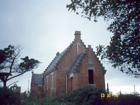 Ardfert Parish Roomchurch hall/parish hall · 1496 yd
 Statue of Roger CasementMemorial · 1580 yd
 CastleCastle, unclassified · 1604 yd
 15th Centenary of the birth of St-BredanMemorial · 1617 yd
 Ardfert CathedralHeritage attraction · 1652 yd
 Tobar na MoltSpring · 1.2 mi
 Site of CastleCastle, unclassified · 1.3 mi