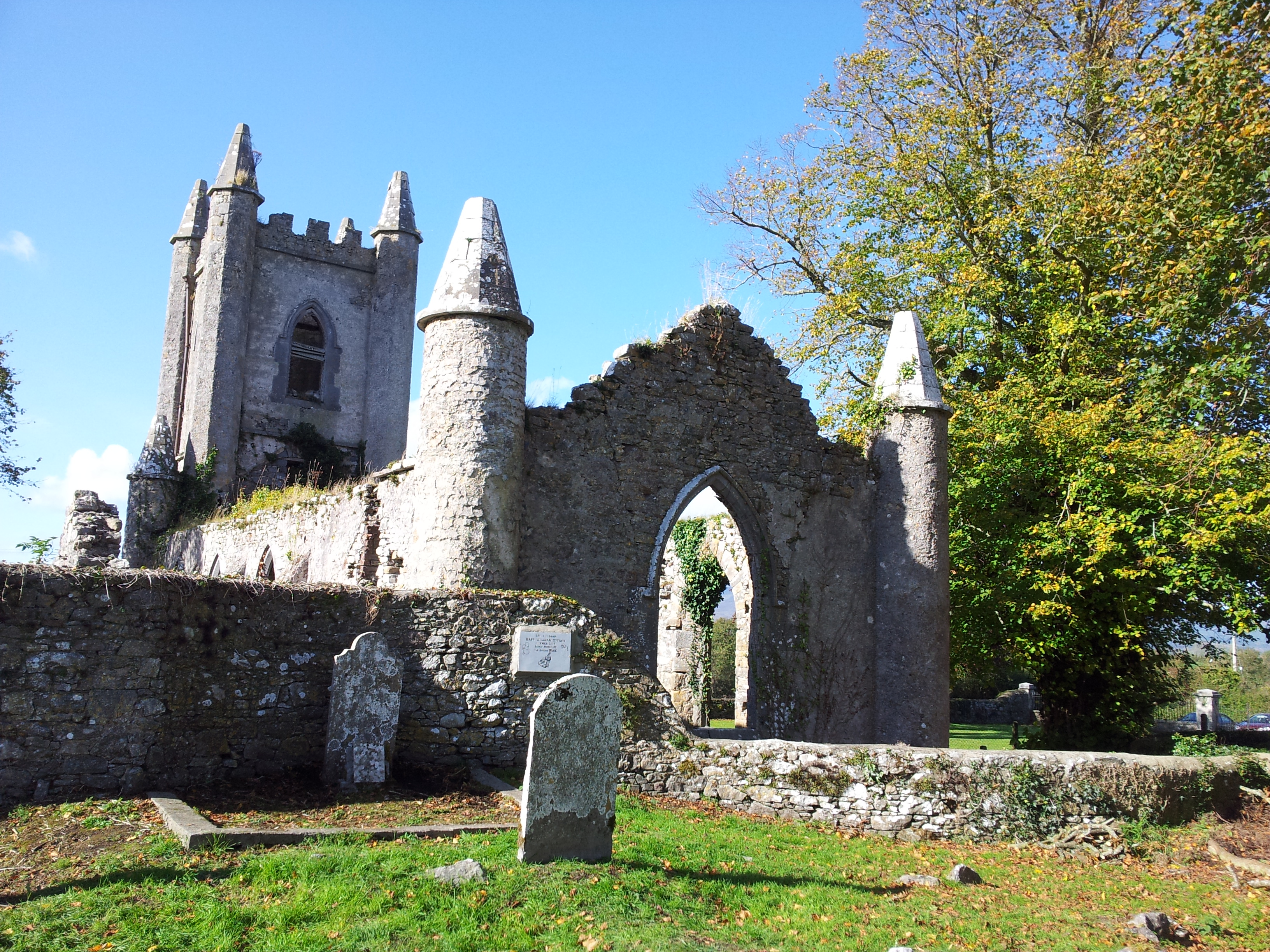
What is recorded here
This large oval-shaped enclosure is marked on the 1841-42 and 1898 OS maps. It consists of an oval area enclosed by a now much-levelled earthen bank. The enclosing bank is on average 13m wide and 1.2m high. Two large breaks exist in the bank, one to the NE 26m wide, and one to the SW 14m wide. The interior is at much the same level as the surrounding land, and contained in the SW sector is an oblong mound, 8m x 2.4m internally. The internal diameter is 86m N-S and 100m E-W. See also Lerrig South (KE020-030002-), Astee West (KE002-052----).
The above description is derived from C. Toal, ‘North Kerry Archaeological Survey’. Dingle. Brandon in association with FAS Training and Employment Authority (1995), no. 1100. In certain instances the entries have been revised and updated in the light of recent research.
Date of upload: 3 August 2013
The monument record does not grant public access. Check the route and ask the landowner before entering private land.
- What survives
- Recorded monument
Places near here
 Hut site in ArdfertHut site · 885 yd
 Enclosure in Kilgulbin WestEnclosure · 939 yd
 Ardfert Franciscan FriaryVisitor information · 1408 yd
 Abbey (in ruins)Religious house, Franciscan friars · 1413 yd
 Ardfert FriaryVisitor information · 1439 yd
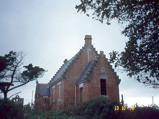 Ardfert Parish Roomchurch hall/parish hall · 1.1 mi
 Statue of Roger CasementMemorial · 1.1 mi
 CastleCastle, unclassified · 1.1 mi
 Tobar na MoltSpring · 1.1 mi
 15th Centenary of the birth of St-BredanMemorial · 1.1 mi
 Ardfert CathedralHeritage attraction · 1.1 mi
 Site of CastleCastle, unclassified · 1.5 mi
Other information
Photo: Credit not shown in the picture search · Rights wording not checked; contact us if this picture should be removed