What is recorded here
No visible fort remains at Tubbrid Lower, though a hidden chamber or forgotten chamber may still exist beneath the soil. The area is marked only by a low earthen bank, a shallow ditch, and a circular shape that resists easy explanation. A modern house stands nearby, its garden cutting across the western edge of the ancient shape. The fort has not disappeared; it has become part of the land, waiting for someone to notice what the soil still remembers.
A circular area (diam. c. 34mm) enclosed by low, earthen bank and shallow external fosse, best preserved on S, E and W. Trees and scrub are growing around the perimeter. On the 1900 revision of the OS 6-inch map a field boundary is indicated running along the NE edge of the monument. This field boundary has subsequently been removed. A relatively modern house has been built c. 26m to the W of the ringfort and the E boundary of the garden runs NNE-SSW along the W side of the monument.
Compiled by: Jean Farrelly
Date of upload: 11 June 2019
The monument record does not grant public access. Check the route and ask the landowner before entering private land.
- What survives
- Recorded monument
Places near here
 Enclosure in WoodsgiftEnclosure · 134 yd
 Enclosure in Tubbrid LowerEnclosure · 530 yd
 CastleCastle, ringwork · 904 yd
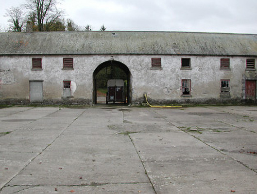 Woodsgift Housefarmyard complex · 1060 yd
 Church in WoodsgiftChurch · 1147 yd
 Kildrinagh WoodForest · 1.1 mi
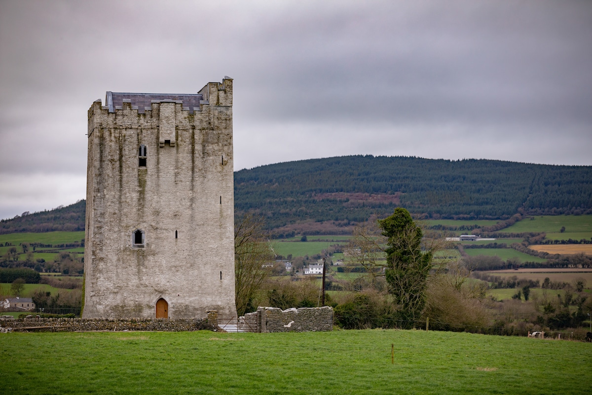
 Tubbrid Castle (in ruins)Castle, tower house · 1.2 mi
 Clomantagh HillMountain / peak · 2.3 mi
 Deerpark WoodWood · 3.4 mi
 John HelyMemorial · 3.5 mi
 DelaneyMemorial · 3.7 mi
 Bregaun HillMountain / peak · 5.3 mi