What is recorded here
Fairy fort / earthen ringfort in Towerhill Demesne is a levelled circular earthwork in County Mayo pasture, thirty-one metres north-south and thirty-three metres east-west, with a low bank running north beside a stone fence. It belongs to the old Irish landscape of ringforts, where people lived, worked and marked territory before modern fields covered most of the evidence. The nearby ringforts at 150m SE and 250m S suggest a small cluster of occupied or claimed places, not a lonely mistake.
In level pasture; 150m SE and 250m S, are ringforts (MA100-063----) and (MA100-064----), respectively. Circular area (31m N-S; 33m E-W), enclosed by earthen bank (H 0.7m); levelled, W to E. Low, linear earthen bank runs off site to N, running parallel to nearby stone fence.
The above description has been derived from D. Lavelle (compiler), An Archaeological Survey of Ballinrobe and District including Lough Mask and Lough Carra. Lough Mask and Lough Carra Tourist Development Association (1994), No. 224.
Date of upload: 1 February 2013
The monument record does not grant public access. Check the route and ask the landowner before entering private land.
- What survives
- Recorded monument
Places near here
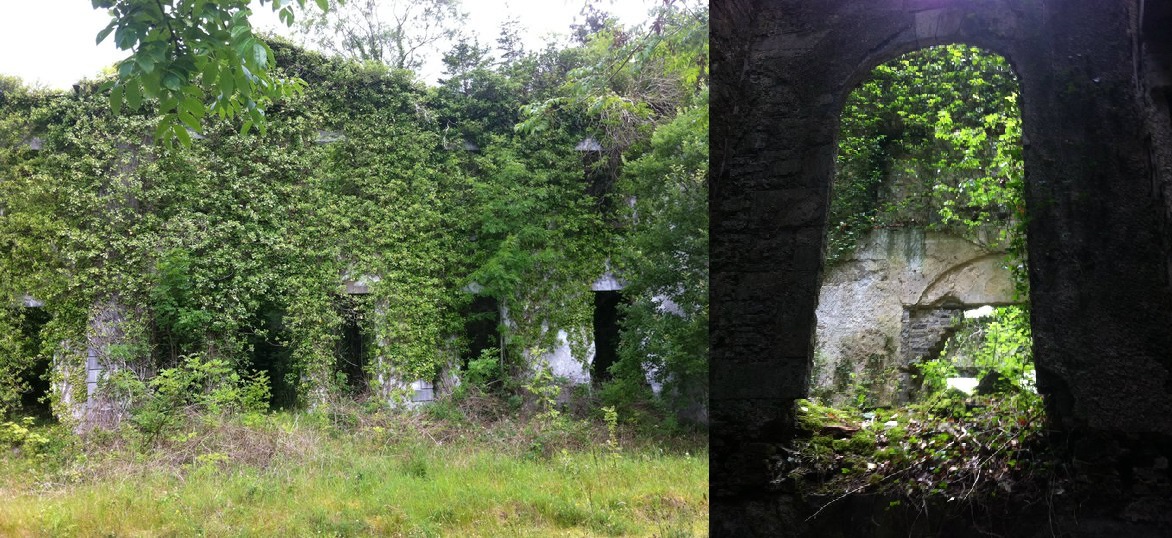 Enclosure in Towerhill DemesneEnclosure · 144 yd
 IndicatedEnclosure · 266 yd
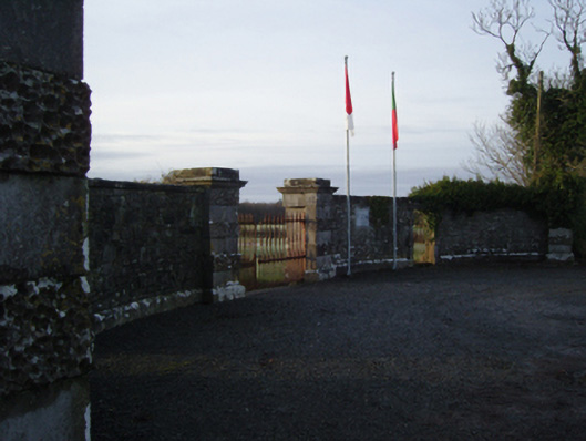 Towerhill Housegates/railings/walls · 403 yd
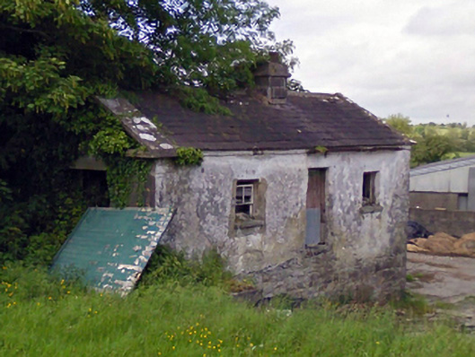 Mount Pleasantgate lodge · 1605 yd
 Bawn in BellanaloobBawn · 1.8 mi
 Moore Hall Forest TrailWalking route · 2.0 mi
 Moore Hall ForestForest · 2.2 mi
 Connors IslandIslet · 2.3 mi
 Creevagh IslandIslet · 2.3 mi
 Castle LucasCastle · 2.3 mi
 Kiltoom PointHeadland · 2.4 mi
 Cerberus, from Thomastown HouseMemorial · 2.6 mi