What is recorded here
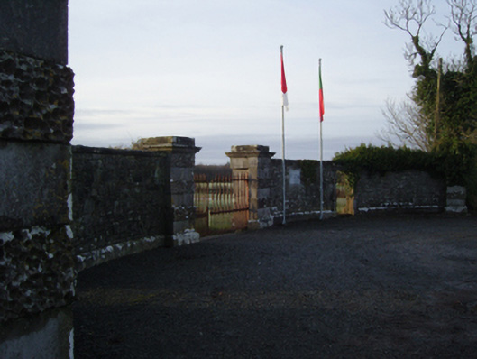
Gateway, extant 1894, on a symmetrical plan comprising pair of vermiculated-banded drag edged dragged limestone ashlar piers on moulded cushion courses on plinths having "Cavetto"-detailed cornices below capping supporting spear head-detailed cast-iron double gates with vermiculated-banded drag edged dragged limestone ashlar outer piers on moulded cushion courses on benchmark-inscribed plinths having monolithic stringcourses below capping. Now disused. Road fronted on a corner site at entrance to grounds of Towerhill House.
A gateway not only making a pleasing visual statement in a sylvan street scene at the principal entrance on to the grounds of the Towerhill House estate, but also illustrating the continued development or "improvement" of the estate in the later nineteenth century: meanwhile, a benchmark remains of additional interest for the connections with cartography and the preparation of maps by the Ordnance Survey (established 1824). NOTE: A recent plaque (2010) records that 'on Towerhill Demesne on the 23rd Jan. 1887 Mayo's Colours "The Green above the Red" were worn for the first time'.
This does not grant access. Most recorded buildings are privately owned; view them only from public ground unless the owner allows entry.
Places near here
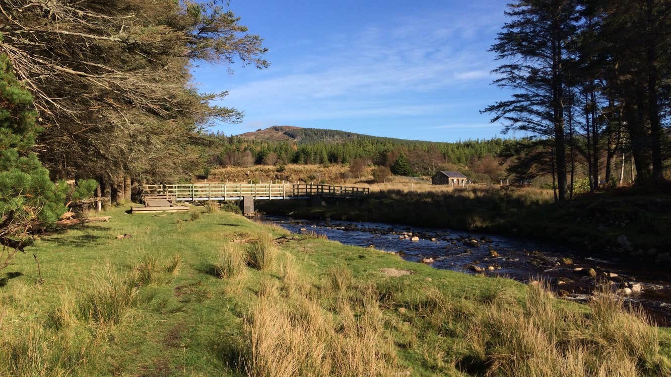 IndicatedEnclosure · 104 yd
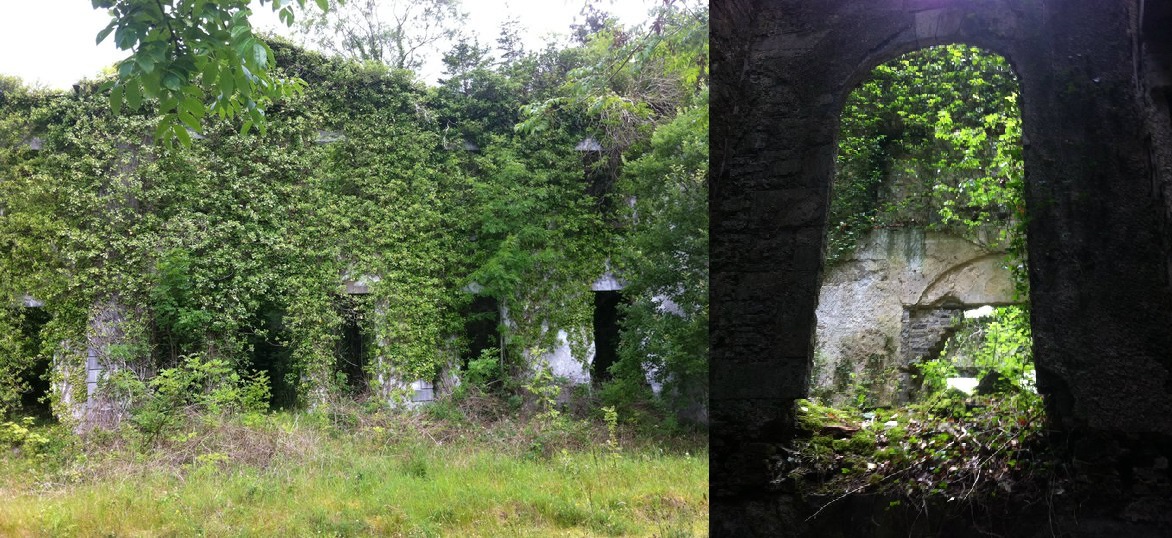 Enclosure in Towerhill DemesneEnclosure · 260 yd
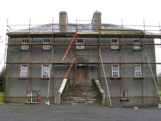 Carrownacon Housefarm house · 1564 yd
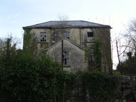 Burrisacarra Schoolschool · 1.0 mi
 Moore Hall Forest TrailWalking route · 1.9 mi
 Bawn in BellanaloobBawn · 2.0 mi
 Moore Hall ForestForest · 2.1 mi
 Castle LucasCastle · 2.2 mi
 Connors IslandIslet · 2.3 mi
 Creevagh IslandIslet · 2.3 mi
 Cerberus, from Thomastown HouseMemorial · 2.4 mi
 Kiltoom PointHeadland · 2.4 mi
Other information
Photo: National Inventory of Architectural Heritage · Website use allowed for educational or private purposes with source credit