What is recorded here
Magic is not required to explain the name. The fort is gone except for a southeast arc of two overgrown banks and a conifer-choked ditch that once collected rubbish. Inside the lost circle, a man-made passage still cuts through the earth, waiting for someone brave enough to crawl into darkness beneath the pasture.
In rolling pasture, between two NE-SW ridges and N of Saivnose river. Originally circular area enclosed by two substantial earthen banks, levelled c.1980 except for arc to SE. Arc consists of two heavily overgrown earthen banks (ext. H c. 4m) separated by a fosse. Fosse area planted with conifers and used as rubbish dump. Man-made underground passage (CO120-056004-) in interior.
The above description is derived from the published 'Archaeological Inventory of County Cork. Volume 1: West Cork' (Dublin: Stationery Office, 1992). In certain instances the entries have been revised and updated in the light of recent research.
Date of upload/revision: 14 January 2009
The monument record does not grant public access. Check the route and ask the landowner before entering private land.
- What survives
- Recorded monument
Places near here
 Burial Place for ChildrenBurial ground · 111 yd
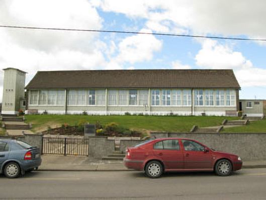 Scoil Mhuire Draighneaghschool · 706 yd
 Sacred Heart Roman Catholic Churchchurch/chapel · 720 yd
 Man-made underground passage in CurraghnaloughraMan-made underground passage · 1750 yd
 Graveyard in ToughmacdermodyGraveyard · 1.7 mi
 CarrigfaddaMountain / peak · 2.7 mi
 Cross commemorating Holy Day.Memorial · 2.8 mi
 Milane HillMountain / peak · 3.9 mi
 Mohona WoodWood · 4.0 mi
 Leap waterfallHeritage attraction · 4.6 mi
 Drimoleague Heritage Loop WalkWalking route · 4.8 mi
 Moyny Bridge WalkWalking route · 5.1 mi