What is recorded here
Situated on a rise on a slight SE-facing slope. The cropmark of a circular enclosure defined by two ditch features (int. diam. c. 50m; ext. diam. c. 65m) is visible on aerial photographs (MM (49) 31-34), and digital aerial photograph (WX036-070_1) taken in 2006. The perimeter incorporates a field bank S-NW.
WX036-070----_1.jpg from NE
Compiled by: Michael Moore
Date of upload: 8 November, 2012
The monument record does not grant public access. Check the route and ask the landowner before entering private land.
- What survives
- Recorded monument
Places near here
 rectory/glebe/vicarage/curate's houserectory/glebe/vicarage/curate's house · 907 yd
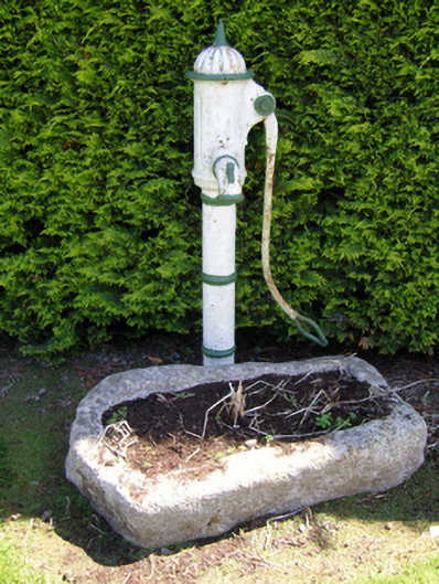 water pumpwater pump · 1010 yd
 St. Garvans WellHoly well · 1724 yd
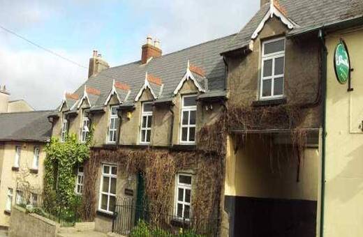 IndicatedHoly well · 1.0 mi
 Bawn in Tracystown WestBawn · 1.3 mi
 Taghmon CastleCastle · 2.5 mi
 Camaross HillMountain / peak · 3.0 mi
 Coolcliffe HouseRuins · 3.1 mi
 Glenour MonumentMemorial · 3.7 mi
 Carrickbyrne HillMountain / peak · 3.8 mi
 Carrig-On-BannowVisitor information · 7.0 mi
 1798 MemorialMemorial · 7.0 mi