What is recorded here
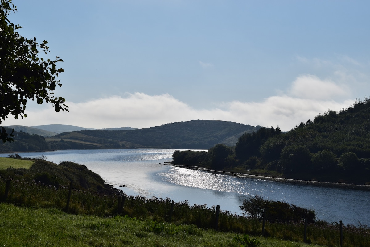
Fairy fort in Tooreen, County Mayo. Earthen ring on a ridge above the Cloonalaghan River. A road cut through the middle, but both side arcs still stand in the pasture. The fort gave up its centre rather than disappear, and the road carries its shape forward.
In pasture, on elevated ground on the W side of a N-S ridge; ground falls away to W overlooking the flood plain of the Cloonalaghan River; to E ground rises gradually.
This possible rath is not shown on the 1838 OS 6-inch map, but is indicated on the 1922 edition as a roughly oval area bisected centrally by road on an N−S axis. The central portion (Wth c. 7m) of the enclosure has been largely destroyed by the road which is flanked by field walls; a gentle rise/undulation in the road surface appears to mirror the original contours of the enclosure. The E and W arcs of the enclosure can still be traced in the fields on either side of the road. In the field to W of the road, there is an arc of raised ground (25m N-S; 5.4m E-S) defined on its outer edge by a stony earthen bank (Wth 2.9m; int. H 0.3m; ext. H 1.2m). In the field to E, there appears to be a corresponding arc of bank, but the remains are severely degraded (H c. 0.3m), and are clipped at N end by an E-W property fence. A rath (MA015-010----) is located c. 30 m to NW.
Compiled by: Jane O’Shaughnessy
Date of upload: 13 November 2018
The monument record does not grant public access. Check the route and ask the landowner before entering private land.
- What survives
- Recorded monument
Places near here
 IndicatedFairy fort / earthen ringfort · 66 yd
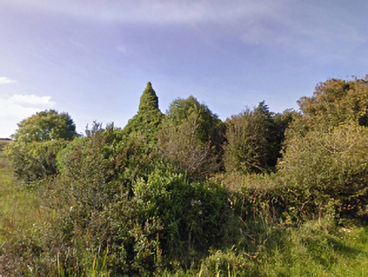
 ToberaraHoly well · 519 yd
 Lackan Church (Lackan)church/chapel · 1604 yd
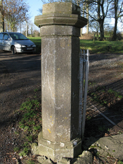 Carrowmore Housegates/railings/walls · 1607 yd
 CastleCastle, unclassified · 1.2 mi
 TrabaunBeach / strand · 1.4 mi
 CastlenageehaCastle, unclassified · 1.4 mi
 French Landing 1798Memorial · 1.9 mi
 Rinnaun PointHeadland · 2.9 mi
 Green IslandIslet · 3.2 mi
 Battle of Killalabattle · 3.3 mi
 Lisheen Grave YardArchaeological place · 3.9 mi