What is recorded here
Situated on a marked N/NW-facing slope on the S edge of a narrow steep-sided valley. Bivallate oval ringfort (dims. 34.3m E-W; 23m N-S) defined by an earth and stone bank (Wth 1.5-2m; H 0.3m at S - 2.5m at N) with an external fosse (Wth 2-3m), and an outer bank (Wth 2m; int. H 0.6m; ext. H 1.8m) at the N. A revetment of low boulders survives in places along the inside edge of the inner bank and the outside face of the outer bank. There is an entrance (Wth 1.7m) in the inner bank at the N and the bank terminals are revetted with small boulders. No indication of internal features.
The above description is derived from the published 'Archaeological Inventory of County Wicklow' (Dublin: Stationery Office, 1997). In certain instances the entries have been revised and updated in the light of recent research.
Date of upload/revision: 17 December 2008
The monument record does not grant public access. Check the route and ask the landowner before entering private land.
- What survives
- Recorded monument
Places near here
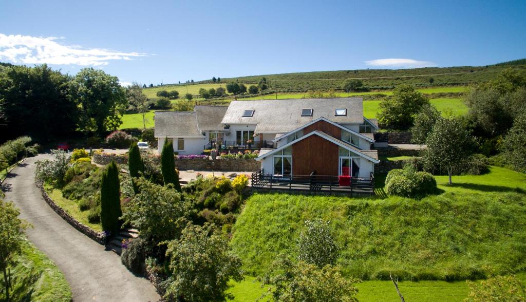 Toor LodgeRuins · 1192 yd
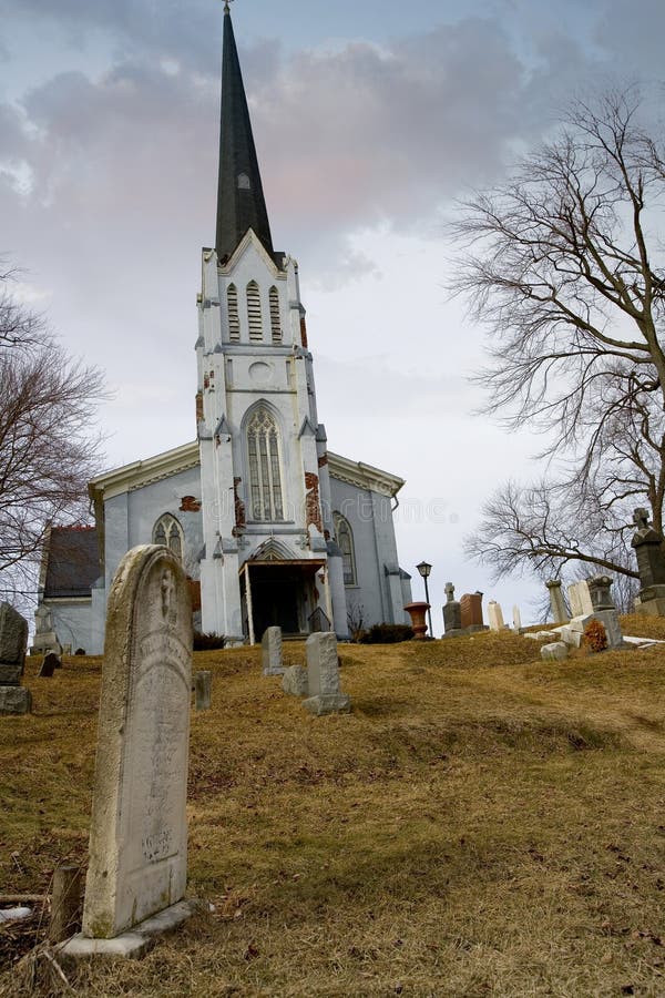 Church (in Ruins), Grave YardChurch · 1465 yd
 Enclosure in ScalpEnclosure · 1508 yd
 Enclosure in ToorEnclosure · 1530 yd
 Hollywood SignHeritage attraction · 1.2 mi
 Saint Kevin's CaveMemorial · 1.3 mi
 Church MountainMountain / peak · 1.3 mi
 Castle BankCastle, motte and bailey · 1.4 mi
 European YewEuropean Yew · 1.4 mi
 Burial ground in CrehelpBurial ground · 1.9 mi
 PinnacleMountain / peak · 3.1 mi
 Hollywood Horse and Pony TrekkingHeritage attraction · 3.2 mi